Engelskirchen night lights from space
Night Light of Engelskirchen (North Rhine-Westphalia) from space (Germany) Src. Average luminocity for 10x10km area is 1.393% and for 50x50km: 10.347%.
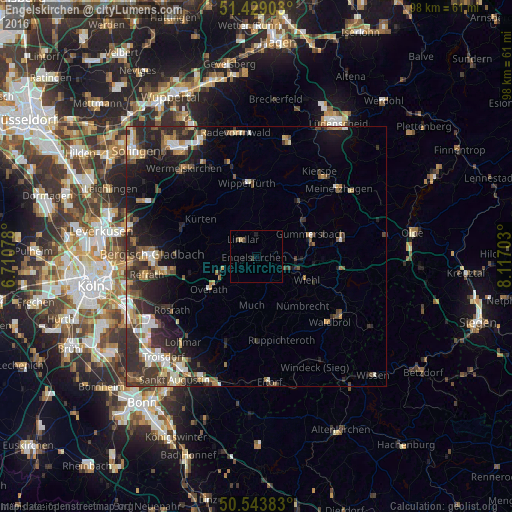
Analysis of Engelskirchen night lights 2016
Square area 10x10 km:
 0%
0%90-99
0%80-89
0.53%70-79
0%60-69
0%50-59
0%40-49
1.07%30-39
0.27%20-29
0.27%10-19
1.07%0-9
96.79%Square area 50x50 km:
1.24%90-99
1.51%80-89
0.9%70-79
1.17%60-69
1.48%50-59
1.6%40-49
1.57%30-39
2.72%20-29
4.08%10-19
6.2%0-9
77.53%Clear (daylight) street map image can be seen on geolist.org.
Map coordinates:
51° 25' 44.5" North, 6° 42' 38.8" East
50° 59' 18.7" North, 7° 24' 50.1" East
50° 32' 37.8" North, 8° 7' 1.3" East
Some cities around Engelskirchen sort by population:
• Gummersbach
11.3 km =7 mi,  68°
68°
• Overath
11 km =6.8 mi,  235°
235°
• Wiehl
10.5 km =6.5 mi,  114°
114°
• Lindlar
4.3 km =2.7 mi,  323°
323°
• Kürten
12.4 km =7.7 mi,  303°
303°
• Nümbrecht
12.9 km =8 mi,  136°
136°
• Much
9.4 km =5.8 mi,  184°
184°
• Marienheide
13.3 km =8.3 mi,  37°
37°
2930216 (p: 20,786)
Sources (retrieved 2019-11-25):
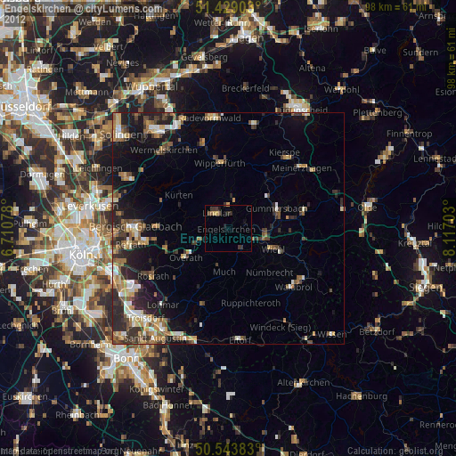
» Earth at Night: Flat Maps 2012, 2016