Opladen night lights from space
Night Light of Opladen (North Rhine-Westphalia) from space (Germany) Src. Average luminocity for 10x10km area is 55.8623% and for 50x50km: 39.03%.
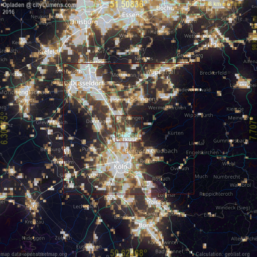
Analysis of Opladen night lights 2016
Square area 10x10 km:
 10.43%
90-99
12.57%80-89
4.95%70-79
6.68%60-69
6.02%50-59
11.63%40-49
9.22%30-39
15.64%20-29
10.16%10-19
12.57%0-9
0.13%Square area 50x50 km:
7.84%90-99
8.49%80-89
3.41%70-79
4.43%60-69
5.17%50-59
5.26%40-49
5.62%30-39
7.69%20-29
11.22%10-19
14.6%0-9
26.27%Clear (daylight) street map image can be seen on geolist.org.
Map coordinates:
51° 30' 30.1" North, 6° 18' 2.7" East
51° 4' 7.1" North, 7° 0' 13.9" East
50° 37' 28.8" North, 7° 42' 25.2" East
Some cities around Opladen sort by population:
• Leverkusen
4.5 km =2.8 mi,  197°
197°
• Langenfeld
5.9 km =3.7 mi,  318°
318°
• Monheim am Rhein
8.2 km =5.1 mi,  288°
288°
• Mülheim
11.4 km =7.1 mi,  180°
180°
• Leichlingen
4.3 km =2.7 mi,  13°
13°
• Burscheid
7.9 km =4.9 mi,  76°
76°
• Odenthal
8.8 km =5.5 mi,  116°
116°
• Riehl
11.5 km =7.1 mi,  189°
189°
2857185 (p: 23,000)
Sources (retrieved 2019-11-25):
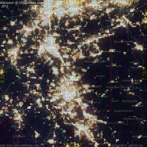
» Earth at Night: Flat Maps 2012, 2016