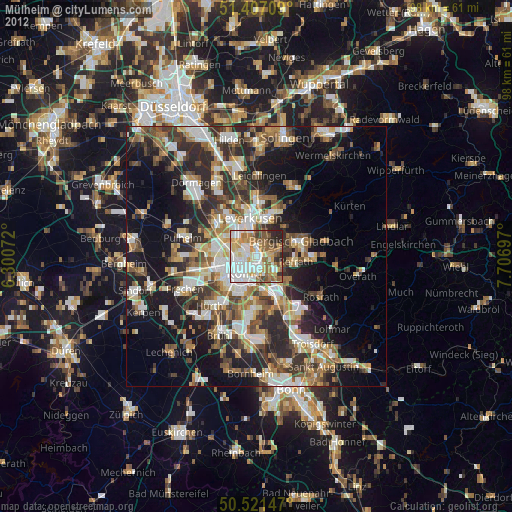
Mülheim night lights from space
Night Light of Mülheim (North Rhine-Westphalia) from space (Germany) Src. Average luminocity for 10x10km area is 79.1162% and for 50x50km: 34.559%.
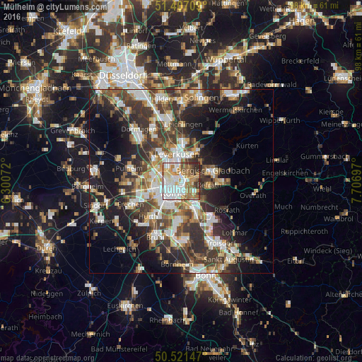
Analysis of Mülheim night lights 2016
Square area 10x10 km:
 25.07%
90-99
21.85%80-89
9.24%70-79
9.8%60-69
14.43%50-59
7.14%40-49
4.2%30-39
6.3%20-29
1.96%10-19
0%0-9
0%Square area 50x50 km:
6.48%90-99
6.92%80-89
3.23%70-79
3.66%60-69
4.74%50-59
5.14%40-49
5.14%30-39
7.64%20-29
9.29%10-19
14.32%0-9
33.44%Clear (daylight) street map image can be seen on geolist.org.
Map coordinates:
51° 24' 25.5" North, 6° 18' 2.6" East
50° 57' 59" North, 7° 0' 13.8" East
50° 31' 17.3" North, 7° 42' 25.1" East
Some cities around Mülheim sort by population:
• Nippes
3.6 km =2.2 mi,  268°
268°
• Neustadt/Nord
4.4 km =2.7 mi,  243°
243°
• Kalk
2.9 km =1.8 mi,  176°
176°
• Deutz
4.1 km =2.5 mi,  209°
209°
• Humboldtkolonie
3.9 km =2.4 mi,  189°
189°
• Buchheim
2 km =1.2 mi,  144°
144°
• Riehl
2 km =1.2 mi, 271°
• Buchforst
1.7 km =1.1 mi, 175°
8593865 (p: 41,711)
Sources (retrieved 2019-11-25):
» Earth at Night: Flat Maps 2012, 2016