Leverkusen night lights from space
Night Light of Leverkusen (North Rhine-Westphalia) from space (Germany) Src. Average luminocity for 10x10km area is 71.7139% and for 50x50km: 38.6221%.
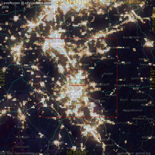

Analysis of Leverkusen night lights 2016
Square area 10x10 km:
 19.39%
90-99
18.58%80-89
4.95%70-79
8.56%60-69
11.63%50-59
12.97%40-49
9.89%30-39
12.57%20-29
1.34%10-19
0.13%0-9
0%Square area 50x50 km:
7.8%90-99
8.27%80-89
3.29%70-79
4.25%60-69
5.17%50-59
5.23%40-49
5.52%30-39
7.49%20-29
11.37%10-19
15.16%0-9
26.44%Clear (daylight) street map image can be seen on geolist.org.
Map coordinates:
51° 28' 13.4" North, 6° 16' 52.3" East
51° 1' 49.1" North, 6° 59' 3.6" East
50° 35' 9.6" North, 7° 41' 14.8" East
Some cities around Leverkusen sort by population:
• Nippes
7.5 km =4.7 mi,  196°
196°
• Mülheim
7.2 km =4.5 mi,  169°
169°
• Leichlingen
8.8 km =5.5 mi,  15°
15°
• Neuehrenfeld
8.8 km =5.5 mi, 202°
• Opladen
4.5 km =2.8 mi, 17°
• Bilderstoeckchen
7.7 km =4.8 mi,  209°
209°
• Riehl
7.1 km =4.4 mi,  184°
184°
• Ossendorf
8.6 km =5.3 mi,  219°
219°
2878234 (p: 162,738)
Sources (retrieved 2019-11-25):
» NASA, Earths city lights 1995
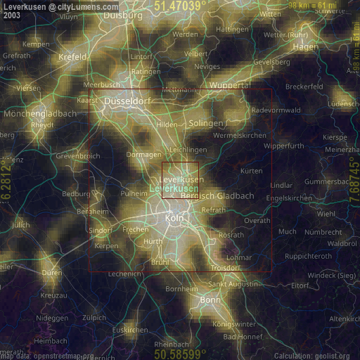
» NASA city lights 2003
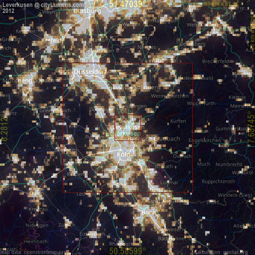
» Earth at Night: Flat Maps 2012, 2016