Langenfeld night lights from space
Night Light of Langenfeld (North Rhine-Westphalia) from space (Germany) Src. Average luminocity for 10x10km area is 57.6096% and for 50x50km: 40.2801%.
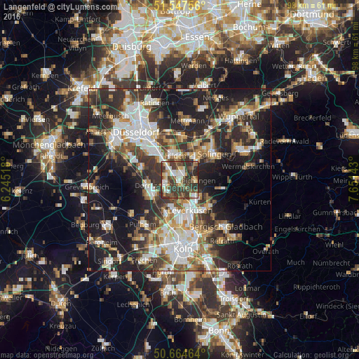

Analysis of Langenfeld night lights 2016
Square area 10x10 km:
 7.62%
7.62%90-99
13.1%80-89
8.56%70-79
4.01%60-69
4.14%50-59
12.43%40-49
14.17%30-39
26.74%20-29
9.22%10-19
0%0-9
0%Square area 50x50 km:
7.64%90-99
8.41%80-89
3.43%70-79
4.47%60-69
5.35%50-59
5.37%40-49
5.82%30-39
8.35%20-29
12.51%10-19
19.62%0-9
19.01%Clear (daylight) street map image can be seen on geolist.org.
Map coordinates:
51° 32' 51.2" North, 6° 14' 42.6" East
51° 6' 29.6" North, 6° 56' 53.9" East
50° 39' 52.7" North, 7° 39' 5.1" East
Some cities around Langenfeld sort by population:
• Leverkusen
9 km =5.6 mi,  163°
163°
• Dormagen
8.2 km =5.1 mi,  261°
261°
• Hilden
6.8 km =4.2 mi,  349°
349°
• Monheim am Rhein
4.3 km =2.7 mi,  244°
244°
• Haan
10.5 km =6.5 mi,  25°
25°
• Leichlingen
4.9 km =3 mi,  92°
92°
• Opladen
5.9 km =3.7 mi,  138°
138°
• Burscheid
11.9 km =7.4 mi,  102°
102°
2881085 (p: 59,378)
Sources (retrieved 2019-11-25):
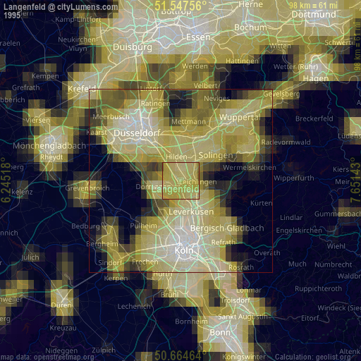
» NASA, Earths city lights 1995
» NASA city lights 2003
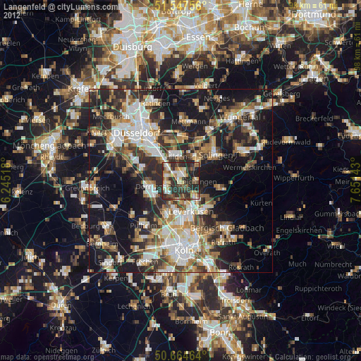
» Earth at Night: Flat Maps 2012, 2016