Monheim am Rhein night lights from space
Night Light of Monheim am Rhein (North Rhine-Westphalia) from space (Germany) Src. Average luminocity for 10x10km area is 57.2607% and for 50x50km: 41.8381%.
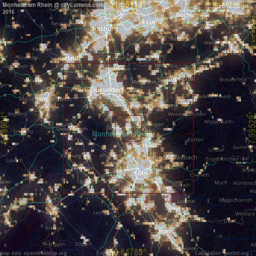
Analysis of Monheim am Rhein night lights 2016
Square area 10x10 km:
 9.36%
9.36%90-99
14.04%80-89
6.28%70-79
4.28%60-69
5.35%50-59
10.16%40-49
9.36%30-39
27.67%20-29
13.5%10-19
0%0-9
0%Square area 50x50 km:
7.96%90-99
8.91%80-89
3.57%70-79
4.64%60-69
5.49%50-59
5.69%40-49
6.15%30-39
8.18%20-29
12.52%10-19
19.95%0-9
16.95%Clear (daylight) street map image can be seen on geolist.org.
Map coordinates:
51° 31' 52.1" North, 6° 11' 20.5" East
51° 5' 29.8" North, 6° 53' 31.8" East
50° 38' 52.4" North, 7° 35' 43" East
Some cities around Monheim am Rhein sort by population:
• Leverkusen
9.4 km =5.8 mi,  136°
136°
• Dormagen
4.3 km =2.7 mi,  277°
277°
• Langenfeld
4.3 km =2.7 mi,  64°
64°
• Hilden
8.9 km =5.5 mi,  17°
17°
• Pulheim
11.9 km =7.4 mi,  210°
210°
• Leichlingen
9 km =5.6 mi,  79°
79°
• Opladen
8.2 km =5.1 mi,  108°
108°
• Sinnersdorf
9.1 km =5.7 mi, 214°
2869791 (p: 43,038)
Sources (retrieved 2019-11-25):
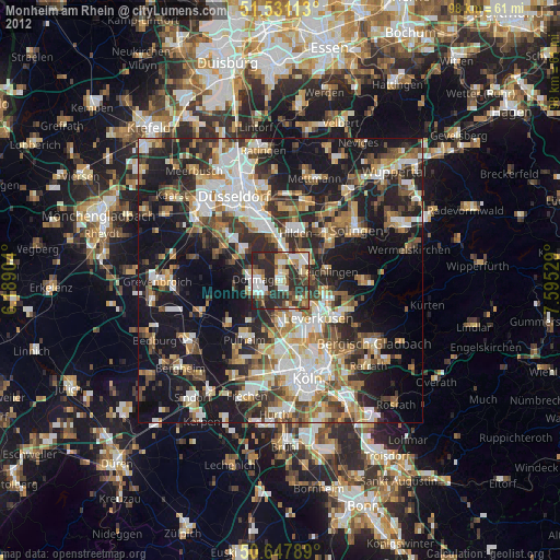
» Earth at Night: Flat Maps 2012, 2016