Ochsenfurt night lights from space
Night Light of Ochsenfurt (Bavaria) from space (Germany) Src. Average luminocity for 10x10km area is 2.5575% and for 50x50km: 3.7455%.
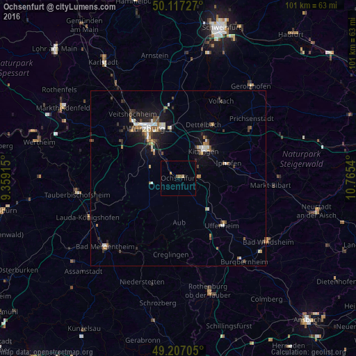
Analysis of Ochsenfurt night lights 2016
Square area 10x10 km:
 0%
0%90-99
0%80-89
0.53%70-79
0%60-69
1.34%50-59
0.8%40-49
0%30-39
0.13%20-29
0%10-19
0.8%0-9
96.39%Square area 50x50 km:
0.47%90-99
0.57%80-89
0.25%70-79
0.38%60-69
0.51%50-59
0.54%40-49
0.6%30-39
0.56%20-29
0.74%10-19
2.92%0-9
92.46%Clear (daylight) street map image can be seen on geolist.org.
Map coordinates:
50° 7' 2.2" North, 9° 21' 32.9" East
49° 39' 51.4" North, 10° 3' 44.2" East
49° 12' 25.4" North, 10° 45' 55.4" East
Some cities around Ochsenfurt sort by population:
• Würzburg
16.5 km =10.3 mi,  331°
331°
• Kitzingen
10.5 km =6.5 mi,  37°
37°
• Höchberg
18.6 km =11.6 mi,  315°
315°
• Dettelbach
17.1 km =10.6 mi,  25°
25°
• Uffenheim
18.2 km =11.3 mi,  137°
137°
• Gerbrunn
13.3 km =8.3 mi,  338°
338°
• Rottendorf
14.5 km =9 mi,  349°
349°
• Waldbüttelbrunn
20.7 km =12.9 mi,  311°
311°
2858333 (p: 11,492)
Sources (retrieved 2019-11-25):
» Earth at Night: Flat Maps 2012, 2016