Würzburg night lights from space
Night Light of Würzburg (Bavaria) from space (Germany) Src. Average luminocity for 10x10km area is 36.496% and for 50x50km: 4.0503%.
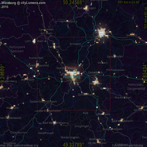

Analysis of Würzburg night lights 2016
Square area 10x10 km:
 5.88%
5.88%90-99
7.35%80-89
3.88%70-79
2.94%60-69
3.07%50-59
6.55%40-49
5.21%30-39
3.34%20-29
10.03%10-19
43.58%0-9
8.16%Square area 50x50 km:
0.45%90-99
0.61%80-89
0.33%70-79
0.33%60-69
0.51%50-59
0.59%40-49
0.71%30-39
0.53%20-29
0.95%10-19
3.47%0-9
91.53%Clear (daylight) street map image can be seen on geolist.org.
Map coordinates:
50° 14' 44.4" North, 9° 14' 53.1" East
49° 47' 38.1" North, 9° 57' 4.4" East
49° 20' 16.4" North, 10° 39' 15.6" East
Some cities around Würzburg sort by population:
• Veitshöchheim
6.6 km =4.1 mi,  310°
310°
• Höchberg
5.1 km =3.2 mi,  258°
258°
• Rimpar
7 km =4.3 mi,  3°
3°
• Dettelbach
15.4 km =9.6 mi,  86°
86°
• Zellingen
15 km =9.3 mi,  320°
320°
• Gerbrunn
3.7 km =2.3 mi,  124°
124°
• Rottendorf
5.4 km =3.4 mi, 91°
• Waldbüttelbrunn
7.5 km =4.7 mi,  265°
265°
2805615 (p: 133,731)
Sources (retrieved 2019-11-25):
» NASA, Earths city lights 1995
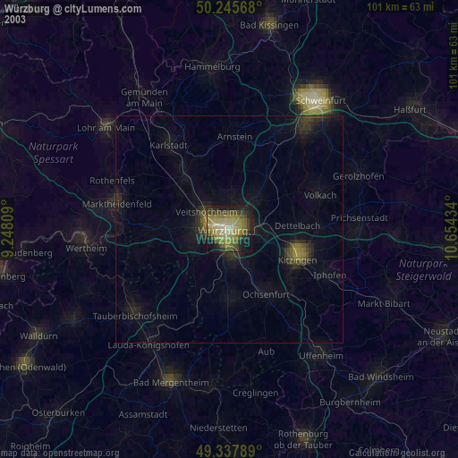
» NASA city lights 2003
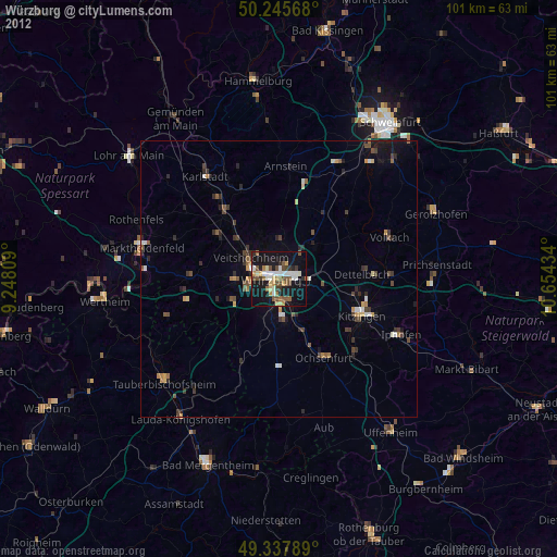
» Earth at Night: Flat Maps 2012, 2016