Rottendorf night lights from space
Night Light of Rottendorf (Bavaria) from space (Germany) Src. Average luminocity for 10x10km area is 18.5816% and for 50x50km: 3.9297%.
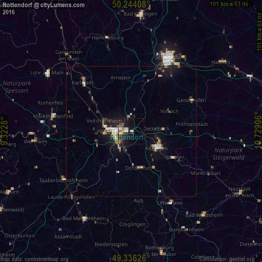
Analysis of Rottendorf night lights 2016
Square area 10x10 km:
 2.54%
2.54%90-99
3.21%80-89
2.27%70-79
0.4%60-69
1.2%50-59
4.55%40-49
3.34%30-39
2.01%20-29
4.28%10-19
21.93%0-9
54.28%Square area 50x50 km:
0.42%90-99
0.58%80-89
0.29%70-79
0.31%60-69
0.51%50-59
0.58%40-49
0.73%30-39
0.59%20-29
0.89%10-19
3.45%0-9
91.64%Clear (daylight) street map image can be seen on geolist.org.
Map coordinates:
50° 14' 38.7" North, 9° 19' 22.1" East
49° 47' 32.3" North, 10° 1' 33.3" East
49° 20' 10.5" North, 10° 43' 44.6" East
Some cities around Rottendorf sort by population:
• Würzburg
5.4 km =3.4 mi,  271°
271°
• Kitzingen
10.7 km =6.6 mi,  123°
123°
• Veitshöchheim
11.3 km =7 mi,  293°
293°
• Höchberg
10.4 km =6.5 mi, 265°
• Rimpar
8.7 km =5.4 mi,  325°
325°
• Dettelbach
10.1 km =6.3 mi,  83°
83°
• Gerbrunn
3 km =1.9 mi,  230°
230°
• Waldbüttelbrunn
12.9 km =8 mi, 268°
2843724 (p: 5,234)
Sources (retrieved 2019-11-25):
» Earth at Night: Flat Maps 2012, 2016