Höchberg night lights from space
Night Light of Höchberg (Bavaria) from space (Germany) Src. Average luminocity for 10x10km area is 24.3329% and for 50x50km: 4.204%.
Analysis of Höchberg night lights 2016
Square area 10x10 km:
 3.88%
3.88%90-99
4.41%80-89
1.87%70-79
2.81%60-69
2.81%50-59
3.48%40-49
3.07%30-39
2.41%20-29
7.22%10-19
23.8%0-9
44.25%Square area 50x50 km:
0.51%90-99
0.69%80-89
0.39%70-79
0.35%60-69
0.48%50-59
0.6%40-49
0.67%30-39
0.57%20-29
0.87%10-19
3.15%0-9
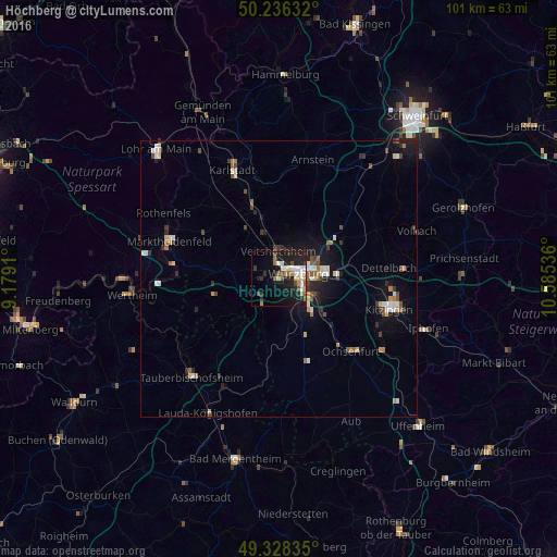
91.74%Clear (daylight) street map image can be seen on geolist.org.
Map coordinates:
50° 14' 10.8" North, 9° 10' 44.8" East
49° 47' 4.1" North, 9° 52' 56" East
49° 19' 42.1" North, 10° 35' 7.3" East
Some cities around Höchberg sort by population:
• Würzburg
5.1 km =3.2 mi,  78°
78°
• Ochsenfurt
18.6 km =11.6 mi,  135°
135°
• Veitshöchheim
5.4 km =3.4 mi,  359°
359°
• Rimpar
9.7 km =6 mi,  33°
33°
• Zellingen
13.4 km =8.3 mi,  339°
339°
• Gerbrunn
8.1 km =5 mi,  97°
97°
• Rottendorf
10.4 km =6.5 mi,  85°
85°
• Waldbüttelbrunn
2.6 km =1.6 mi,  279°
279°
2903327 (p: 9,372)
Sources (retrieved 2019-11-25):
» Earth at Night: Flat Maps 2012, 2016