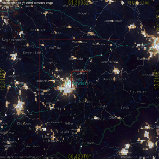
Niederwiesa night lights from space
Night Light of Niederwiesa (Saxony) from space (Germany) Src. Average luminocity for 10x10km area is 12.1793% and for 50x50km: 6.3207%.
Analysis of Niederwiesa night lights 2016
Square area 10x10 km:
 0.84%
0.84%90-99
1.12%80-89
1.96%70-79
1.12%60-69
1.68%50-59
1.54%40-49
1.96%30-39
1.4%20-29
5.18%10-19
11.9%0-9
71.29%Square area 50x50 km:
0.84%90-99
1.15%80-89
0.86%70-79
0.52%60-69
0.84%50-59
0.86%40-49
0.84%30-39
0.66%20-29
1.74%10-19
3.75%0-9
87.94%Clear (daylight) street map image can be seen on geolist.org.
Map coordinates:
51° 18' 30" North, 12° 18' 48.8" East
50° 52' 0" North, 13° 1' 0" East
50° 25' 14.8" North, 13° 43' 11.3" East
Some cities around Niederwiesa sort by population:
• Chemnitz
7 km =4.3 mi,  240°
240°
• Frankenberg
5.4 km =3.4 mi,  17°
17°
• Mittweida
13.6 km =8.5 mi,  347°
347°
• Zschopau
13.8 km =8.6 mi,  162°
162°
• Flöha
4.2 km =2.6 mi,  106°
106°
• Hainichen
13.7 km =8.5 mi,  32°
32°
• Oederan
10.9 km =6.8 mi,  93°
93°
• Augustusburg
8.5 km =5.3 mi,  135°
135°
2862724 (p: 5,221)
Sources (retrieved 2019-11-25):
» Earth at Night: Flat Maps 2012, 2016