Zschopau night lights from space
Night Light of Zschopau (Saxony) from space (Germany) Src. Average luminocity for 10x10km area is 1% and for 50x50km: 6.4038%.
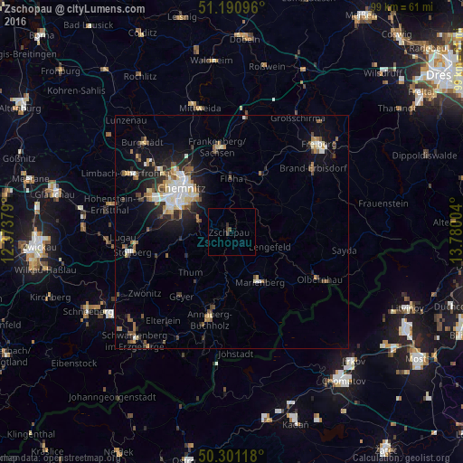
Analysis of Zschopau night lights 2016
Square area 10x10 km:
 0%
0%90-99
0%80-89
0%70-79
0%60-69
0%50-59
0%40-49
1.07%30-39
0.53%20-29
0.53%10-19
0%0-9
97.86%Square area 50x50 km:
0.86%90-99
1.12%80-89
0.82%70-79
0.47%60-69
0.84%50-59
0.97%40-49
0.78%30-39
0.69%20-29
1.82%10-19
3.79%0-9
87.83%Clear (daylight) street map image can be seen on geolist.org.
Map coordinates:
51° 11' 27.5" North, 12° 22' 25.6" East
50° 44' 53.4" North, 13° 4' 36.9" East
50° 18' 4.2" North, 13° 46' 48.1" East
Some cities around Zschopau sort by population:
• Marienberg
12.4 km =7.7 mi,  151°
151°
• Flöha
12 km =7.5 mi,  359°
359°
• Oederan
14.2 km =8.8 mi,  28°
28°
• Burkhardtsdorf
11.4 km =7.1 mi,  261°
261°
• Thum
12.4 km =7.7 mi,  225°
225°
• Ehrenfriedersdorf
13.3 km =8.3 mi,  214°
214°
• Niederwiesa
13.8 km =8.6 mi,  342°
342°
• Augustusburg
7.3 km =4.5 mi,  13°
13°
2803798 (p: 11,705)
Sources (retrieved 2019-11-25):
» Earth at Night: Flat Maps 2012, 2016