Neunkirchen night lights from space
Night Light of Neunkirchen (Saarland) from space (Germany) Src. Average luminocity for 10x10km area is 29.3061% and for 50x50km: 13.5335%.
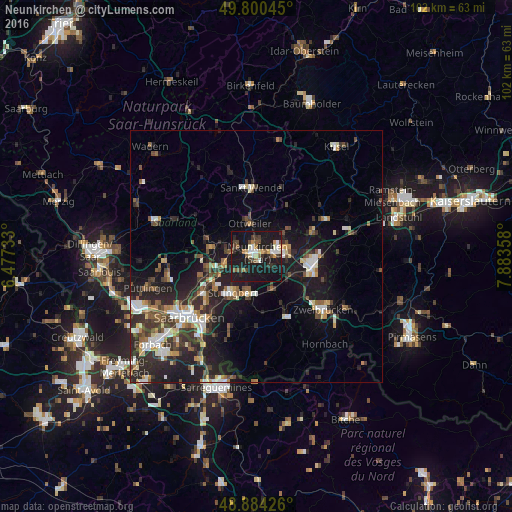
Analysis of Neunkirchen night lights 2016
Square area 10x10 km:
 3.21%
3.21%90-99
4.14%80-89
3.07%70-79
2.14%60-69
2.01%50-59
4.55%40-49
4.68%30-39
4.95%20-29
6.15%10-19
57.89%0-9
7.22%Square area 50x50 km:
1.75%90-99
2.09%80-89
1.12%70-79
1.34%60-69
1.29%50-59
1.85%40-49
2.32%30-39
2.79%20-29
5.46%10-19
12.12%0-9
67.88%Clear (daylight) street map image can be seen on geolist.org.
Map coordinates:
49° 48' 1.6" North, 6° 28' 38.4" East
49° 20' 40.2" North, 7° 10' 49.6" East
48° 53' 3.3" North, 7° 53' 0.9" East
Some cities around Neunkirchen sort by population:
• Sankt Ingbert
8.8 km =5.5 mi,  211°
211°
• Bexbach
5.4 km =3.4 mi,  88°
88°
• Schiffweiler
4.2 km =2.6 mi,  305°
305°
• Ottweiler
6.4 km =4 mi,  349°
349°
• Spiesen-Elversberg
4.6 km =2.9 mi,  227°
227°
• Friedrichsthal
6.4 km =4 mi,  253°
253°
• Merchweiler
9.5 km =5.9 mi,  273°
273°
• Kirkel
7.8 km =4.8 mi,  150°
150°
2864435 (p: 49,843)
Sources (retrieved 2019-11-25):
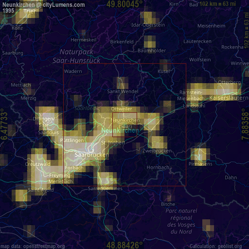
» NASA, Earths city lights 1995
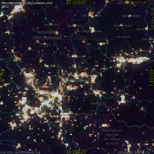
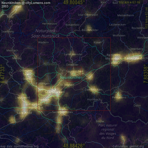
» NASA city lights 2003
» Earth at Night: Flat Maps 2012, 2016