Sankt Ingbert night lights from space
Night Light of Sankt Ingbert (Saarland) from space (Germany) Src. Average luminocity for 10x10km area is 29.9104% and for 50x50km: 17.5733%.
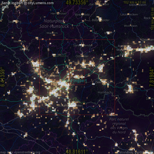
Analysis of Sankt Ingbert night lights 2016
Square area 10x10 km:
 2.01%
2.01%90-99
4.28%80-89
1.2%70-79
2.54%60-69
4.68%50-59
7.22%40-49
5.08%30-39
5.88%20-29
16.71%10-19
35.03%0-9
15.37%Square area 50x50 km:
2.39%90-99
2.7%80-89
1.39%70-79
1.6%60-69
1.87%50-59
2.37%40-49
2.81%30-39
3.27%20-29
7.16%10-19
17.34%0-9
57.09%Clear (daylight) street map image can be seen on geolist.org.
Map coordinates:
49° 44' 0.8" North, 6° 24' 48.9" East
49° 16' 37.1" North, 7° 7' 0.2" East
48° 48' 58" North, 7° 49' 11.4" East
Some cities around Sankt Ingbert sort by population:
• Saarbrücken
9.2 km =5.7 mi,  237°
237°
• Neunkirchen
8.8 km =5.5 mi,  31°
31°
• Sulzbach
5 km =3.1 mi,  299°
299°
• Spiesen-Elversberg
4.6 km =2.9 mi,  15°
15°
• Quierschied
6.5 km =4 mi,  312°
312°
• Friedrichsthal
5.9 km =3.7 mi,  345°
345°
• Merchweiler
9.5 km =5.9 mi,  329°
329°
• Kirkel
8.5 km =5.3 mi,  85°
85°
2841590 (p: 38,697)
Sources (retrieved 2019-11-25):
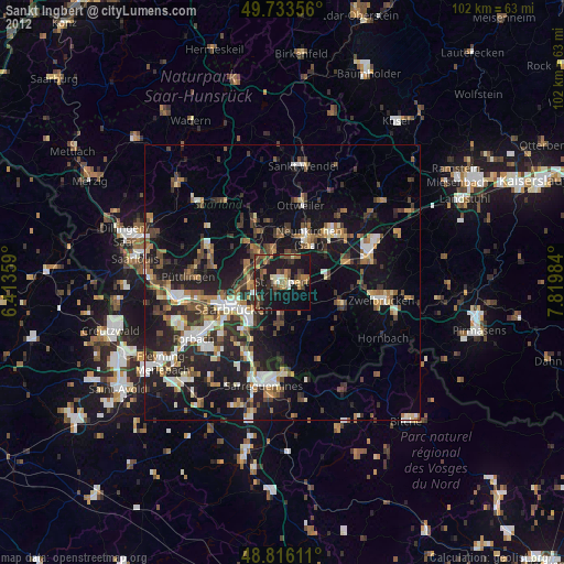
» Earth at Night: Flat Maps 2012, 2016