Neuenkirchen night lights from space
Night Light of Neuenkirchen (North Rhine-Westphalia) from space (Germany) Src. Average luminocity for 10x10km area is 6.6032% and for 50x50km: 5.3141%.
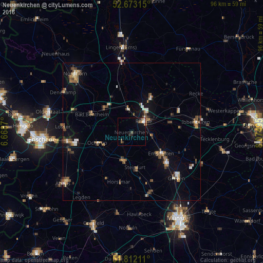
Analysis of Neuenkirchen night lights 2016
Square area 10x10 km:
 0.79%
0.79%90-99
0.79%80-89
0.53%70-79
0.13%60-69
0.4%50-59
3.17%40-49
0%30-39
1.06%20-29
2.12%10-19
2.65%0-9
88.36%Square area 50x50 km:
0.47%90-99
0.62%80-89
0.38%70-79
0.48%60-69
0.86%50-59
1.19%40-49
0.91%30-39
0.84%20-29
0.71%10-19
2.68%0-9
90.86%Clear (daylight) street map image can be seen on geolist.org.
Map coordinates:
52° 40' 23.3" North, 6° 40' 7.3" East
52° 14' 41" North, 7° 22' 18.6" East
51° 48' 43.6" North, 8° 4' 29.8" East
Some cities around Neuenkirchen sort by population:
• Rheine
6.5 km =4 mi,  46°
46°
• Emsdetten
13.3 km =8.3 mi,  126°
126°
• Steinfurt
10.8 km =6.7 mi,  192°
192°
• Ochtrup
13 km =8.1 mi,  251°
251°
• Schüttorf
13.4 km =8.3 mi,  310°
310°
• Spelle
15 km =9.3 mi,  25°
25°
• Wettringen
5.3 km =3.3 mi,  222°
222°
• Salzbergen
10 km =6.2 mi,  351°
351°
2865641 (p: 13,953)
Sources (retrieved 2019-11-25):
» Earth at Night: Flat Maps 2012, 2016