Neckarsulm night lights from space
Night Light of Neckarsulm (Baden-Württemberg) from space (Germany) Src. Average luminocity for 10x10km area is 41.8403% and for 50x50km: 7.9972%.
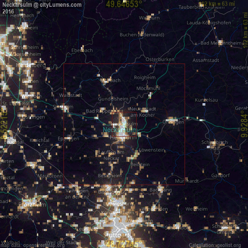
Analysis of Neckarsulm night lights 2016
Square area 10x10 km:
 10.08%
90-99
6.3%80-89
4.2%70-79
3.92%60-69
4.62%50-59
6.86%40-49
4.76%30-39
5.18%20-29
17.79%10-19
24.23%0-9
12.04%Square area 50x50 km:
0.84%90-99
0.76%80-89
0.61%70-79
0.82%60-69
1.07%50-59
1.41%40-49
1.25%30-39
1.36%20-29
2.05%10-19
6.45%0-9
83.36%Clear (daylight) street map image can be seen on geolist.org.
Map coordinates:
49° 38' 47.5" North, 8° 31' 19.7" East
49° 11' 20.8" North, 9° 13' 31" East
48° 43' 38.8" North, 9° 55' 42.2" East
Some cities around Neckarsulm sort by population:
• Heilbronn
5.5 km =3.4 mi,  183°
183°
• Bad Rappenau
10.5 km =6.5 mi,  301°
301°
• Weinsberg
6.2 km =3.9 mi,  132°
132°
• Leingarten
9.2 km =5.7 mi,  238°
238°
• Neuenstadt am Kocher
9.3 km =5.8 mi,  56°
56°
• Bad Wimpfen
6.7 km =4.2 mi,  312°
312°
• Flein
9.6 km =6 mi,  186°
186°
• Oedheim
6 km =3.7 mi,  19°
19°
2866758 (p: 27,413)
Sources (retrieved 2019-11-25):
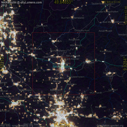
» Earth at Night: Flat Maps 2012, 2016