Hirschau night lights from space
Night Light of Hirschau (Bavaria) from space (Germany) Src. Average luminocity for 10x10km area is 2.2703% and for 50x50km: 2.8721%.
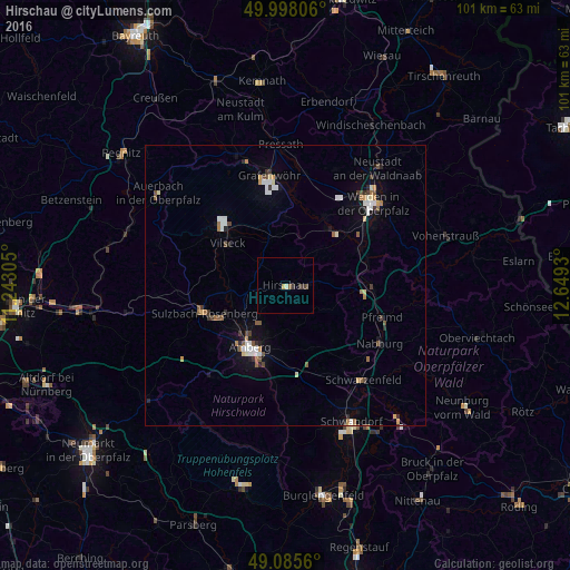
Analysis of Hirschau night lights 2016
Square area 10x10 km:
 0%
0%90-99
0.56%80-89
0.42%70-79
0.14%60-69
0%50-59
0.56%40-49
0.42%30-39
1.82%20-29
0%10-19
0%0-9
96.08%Square area 50x50 km:
0.44%90-99
0.43%80-89
0.26%70-79
0.24%60-69
0.34%50-59
0.48%40-49
0.29%30-39
0.48%20-29
0.31%10-19
0.97%0-9
95.76%Clear (daylight) street map image can be seen on geolist.org.
Map coordinates:
49° 59' 53" North, 11° 14' 35" East
49° 32' 38.3" North, 11° 56' 46.2" East
49° 5' 8.2" North, 12° 38' 57.5" East
Some cities around Hirschau sort by population:
• Amberg
12.8 km =8 mi,  208°
208°
• Sulzbach-Rosenberg
15.2 km =9.4 mi,  251°
251°
• Kümmersbruck
14.5 km =9 mi,  196°
196°
• Grafenwöhr
19.5 km =12.1 mi,  351°
351°
• Vilseck
13 km =8.1 mi,  307°
307°
• Wernberg-Köblitz
15.5 km =9.6 mi,  91°
91°
• Pfreimd
17.9 km =11.1 mi,  109°
109°
• Hahnbach
10.4 km =6.5 mi,  263°
263°
2903806 (p: 6,258)
Sources (retrieved 2019-11-25):
» Earth at Night: Flat Maps 2012, 2016