Neuehrenfeld night lights from space
Night Light of Neuehrenfeld (North Rhine-Westphalia) from space (Germany) Src. Average luminocity for 10x10km area is 90.1457% and for 50x50km: 35.2639%.
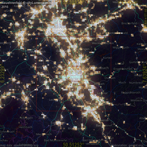
Analysis of Neuehrenfeld night lights 2016
Square area 10x10 km:
 36.41%
90-99
30.67%80-89
10.36%70-79
11.06%60-69
7.84%50-59
1.4%40-49
1.96%30-39
0.28%20-29
0%10-19
0%0-9
0%Square area 50x50 km:
6.57%90-99
6.92%80-89
3.29%70-79
3.45%60-69
4.76%50-59
5.26%40-49
5.17%30-39
7.74%20-29
9.31%10-19
18.08%0-9
29.46%Clear (daylight) street map image can be seen on geolist.org.
Map coordinates:
51° 23' 54" North, 6° 13' 58.8" East
50° 57' 27.1" North, 6° 56' 10" East
50° 30' 45.1" North, 7° 38' 21.3" East
Some cities around Neuehrenfeld sort by population:
• Köln
2.9 km =1.8 mi,  160°
160°
• Nippes
1.5 km =0.9 mi,  53°
53°
• Neustadt/Nord
1.3 km =0.8 mi,  138°
138°
• Altstadt Sud
3.2 km =2 mi,  148°
148°
• Altstadt Nord
2.6 km =1.6 mi, 144°
• Bilderstoeckchen
1.4 km =0.9 mi,  342°
342°
• Riehl
3 km =1.9 mi,  69°
69°
• Ossendorf
2.5 km =1.6 mi,  304°
304°
6691076 (p: 23,621)
Sources (retrieved 2019-11-25):
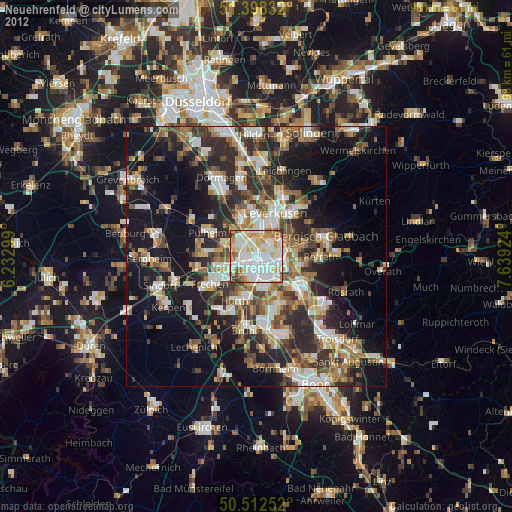
» Earth at Night: Flat Maps 2012, 2016