Nippes night lights from space
Night Light of Nippes (North Rhine-Westphalia) from space (Germany) Src. Average luminocity for 10x10km area is 90.3571% and for 50x50km: 35.2774%.

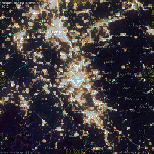
Analysis of Nippes night lights 2016
Square area 10x10 km:
 36.41%
90-99
31.37%80-89
9.94%70-79
11.06%60-69
7.14%50-59
2.38%40-49
1.68%30-39
0%20-29
0%10-19
0%0-9
0%Square area 50x50 km:
6.56%90-99
6.97%80-89
3.26%70-79
3.53%60-69
4.83%50-59
5.28%40-49
5.22%30-39
7.7%20-29
9.33%10-19
17.34%0-9
29.99%Clear (daylight) street map image can be seen on geolist.org.
Map coordinates:
51° 24' 22.2" North, 6° 15' 0" East
50° 57' 55.6" North, 6° 57' 11.3" East
50° 31' 13.9" North, 7° 39' 22.5" East
Some cities around Nippes sort by population:
• Mülheim
3.6 km =2.2 mi,  88°
88°
• Neustadt/Nord
1.9 km =1.2 mi,  191°
191°
• Altstadt Sud
3.6 km =2.2 mi,  172°
172°
• Neuehrenfeld
1.5 km =0.9 mi,  233°
233°
• Altstadt Nord
3 km =1.9 mi, 174°
• Bilderstoeckchen
1.7 km =1.1 mi,  286°
286°
• Riehl
1.6 km =1 mi,  84°
84°
• Ossendorf
3.3 km =2.1 mi,  279°
279°
2862375 (p: 113,487)
Sources (retrieved 2019-11-25):
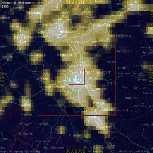
» NASA, Earths city lights 1995
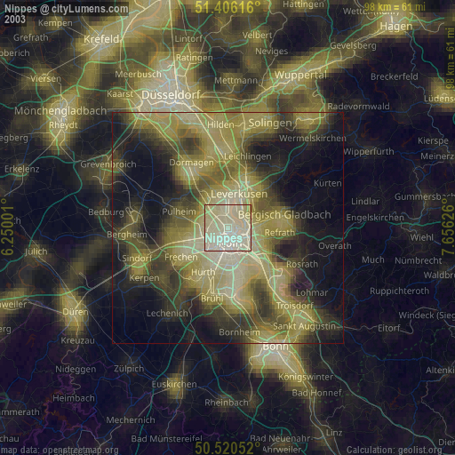
» NASA city lights 2003
» Earth at Night: Flat Maps 2012, 2016