Ossendorf night lights from space
Night Light of Ossendorf (North Rhine-Westphalia) from space (Germany) Src. Average luminocity for 10x10km area is 83.556% and for 50x50km: 36.6766%.
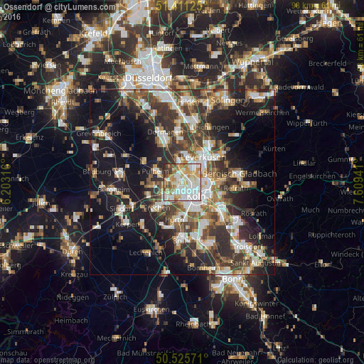
Analysis of Ossendorf night lights 2016
Square area 10x10 km:
 26.89%
90-99
26.33%80-89
11.62%70-79
12.75%60-69
9.8%50-59
3.92%40-49
3.78%30-39
3.78%20-29
1.12%10-19
0%0-9
0%Square area 50x50 km:
6.73%90-99
7.19%80-89
3.4%70-79
3.81%60-69
5.05%50-59
5.34%40-49
5.62%30-39
7.87%20-29
9.54%10-19
18.67%0-9
26.78%Clear (daylight) street map image can be seen on geolist.org.
Map coordinates:
51° 24' 40.5" North, 6° 12' 11.4" East
50° 58' 14.1" North, 6° 54' 22.6" East
50° 31' 32.6" North, 7° 36' 33.9" East
Some cities around Ossendorf sort by population:
• Köln
5.2 km =3.2 mi,  143°
143°
• Nippes
3.3 km =2.1 mi,  99°
99°
• Neustadt/Nord
3.8 km =2.4 mi,  129°
129°
• Neuehrenfeld
2.5 km =1.6 mi,  124°
124°
• Altstadt Nord
5 km =3.1 mi, 134°
• Bilderstoeckchen
1.7 km =1.1 mi,  92°
92°
• Riehl
4.9 km =3 mi, 94°
• Mengenich
2.9 km =1.8 mi,  287°
287°
2856857 (p: 10,596)
Sources (retrieved 2019-11-25):
» Earth at Night: Flat Maps 2012, 2016