Düren night lights from space
Night Light of Düren (North Rhine-Westphalia) from space (Germany) Src. Average luminocity for 10x10km area is 28.8711% and for 50x50km: 14.408%.
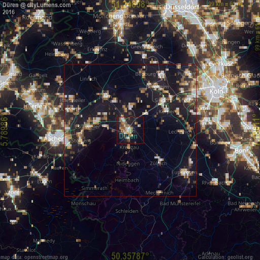
Analysis of Düren night lights 2016
Square area 10x10 km:
 3.08%
3.08%90-99
3.5%80-89
1.82%70-79
4.2%60-69
5.18%50-59
6.72%40-49
6.02%30-39
1.82%20-29
7.56%10-19
31.09%0-9
28.99%Square area 50x50 km:
1.46%90-99
2.02%80-89
1.16%70-79
1.48%60-69
1.94%50-59
2.29%40-49
2.05%30-39
2.15%20-29
4.44%10-19
17.65%0-9
63.36%Clear (daylight) street map image can be seen on geolist.org.
Map coordinates:
51° 14' 47.7" North, 5° 47' 23.5" East
50° 48' 15.6" North, 6° 29' 34.8" East
50° 21' 28.3" North, 7° 11' 46" East
Some cities around Düren sort by population:
• Kreuzau
6.4 km =4 mi,  181°
181°
• Niederzier
9 km =5.6 mi,  348°
348°
• Langerwehe
10.1 km =6.3 mi,  277°
277°
• Nörvenich
10.3 km =6.4 mi,  88°
88°
• Nideggen
12.4 km =7.7 mi, 182°
• Vettweiß
10.9 km =6.8 mi,  136°
136°
• Hürtgenwald
13.2 km =8.2 mi,  222°
222°
• Inden
10.3 km =6.4 mi,  294°
294°
2934486 (p: 93,440)
Sources (retrieved 2019-11-25):
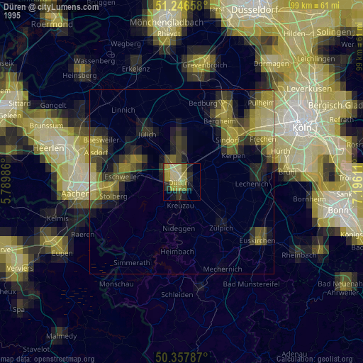
» NASA, Earths city lights 1995
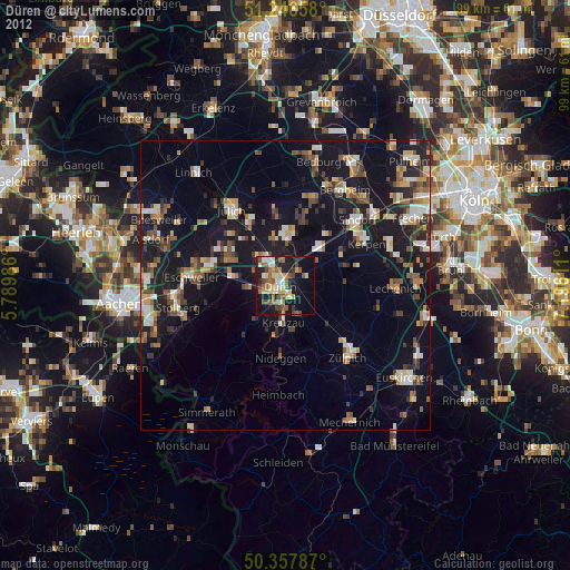
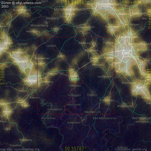
» NASA city lights 2003
» Earth at Night: Flat Maps 2012, 2016