Kusel night lights from space
Night Light of Kusel (Rheinland-Pfalz) from space (Germany) Src. Average luminocity for 10x10km area is 4.2689% and for 50x50km: 7.2701%.
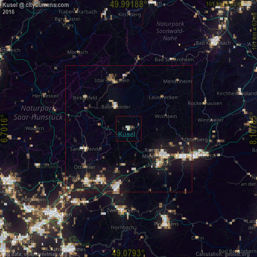
Analysis of Kusel night lights 2016
Square area 10x10 km:
 0.7%
0.7%90-99
1.12%80-89
0.42%70-79
0.56%60-69
0%50-59
0%40-49
1.12%30-39
0.56%20-29
0.56%10-19
0.56%0-9
94.4%Square area 50x50 km:
0.82%90-99
1.05%80-89
0.84%70-79
0.6%60-69
0.81%50-59
0.82%40-49
1.26%30-39
1.08%20-29
1.53%10-19
8.25%0-9
82.96%Clear (daylight) street map image can be seen on geolist.org.
Map coordinates:
49° 59' 30.8" North, 6° 42' 5.8" East
49° 32' 15.8" North, 7° 24' 17" East
49° 4' 45.5" North, 8° 6' 28.3" East
Some cities around Kusel sort by population:
• Sankt Wendel
18.8 km =11.7 mi,  245°
245°
• Landstuhl
18.3 km =11.4 mi,  139°
139°
• Freisen
11.2 km =7 mi,  276°
276°
• Ramstein-Miesenbach
15 km =9.3 mi,  133°
133°
• Bruchmühlbach-Miesau
17.3 km =10.7 mi,  173°
173°
• Namborn
19.1 km =11.9 mi,  264°
264°
• Schönenberg-Kübelberg
14.7 km =9.1 mi,  189°
189°
• Waldmohr
17.9 km =11.1 mi,  196°
196°
2882265 (p: 5,134)
Sources (retrieved 2019-11-25):
» Earth at Night: Flat Maps 2012, 2016