Wipperfürth night lights from space
Night Light of Wipperfürth (North Rhine-Westphalia) from space (Germany) Src. Average luminocity for 10x10km area is 3.0134% and for 50x50km: 12.9755%.
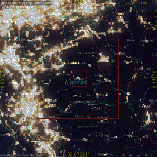
Analysis of Wipperfürth night lights 2016
Square area 10x10 km:
 0%
0%90-99
0.53%80-89
0.53%70-79
0.53%60-69
0%50-59
0.53%40-49
0.8%30-39
0.8%20-29
1.07%10-19
0%0-9
95.19%Square area 50x50 km:
1.28%90-99
1.62%80-89
1.21%70-79
1.85%60-69
1.71%50-59
2.04%40-49
2.12%30-39
2.33%20-29
5.16%10-19
11.15%0-9
69.54%Clear (daylight) street map image can be seen on geolist.org.
Map coordinates:
51° 33' 19.4" North, 6° 41' 43.9" East
51° 6' 58" North, 7° 23' 55.1" East
50° 40' 21.4" North, 8° 6' 6.4" East
Some cities around Wipperfürth sort by population:
• Wermelskirchen
13 km =8.1 mi,  281°
281°
• Radevormwald
9.9 km =6.2 mi,  344°
344°
• Lindlar
10.8 km =6.7 mi,  187°
187°
• Kürten
11.8 km =7.3 mi,  231°
231°
• Kierspe
13.6 km =8.5 mi,  81°
81°
• Halver
10.4 km =6.5 mi,  41°
41°
• Hückeswagen
5.3 km =3.3 mi,  314°
314°
• Marienheide
9.9 km =6.2 mi,  111°
111°
2807594 (p: 23,723)
Sources (retrieved 2019-11-25):
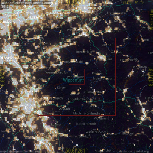
» Earth at Night: Flat Maps 2012, 2016