Amberg night lights from space
Night Light of Amberg (Bavaria) from space (Germany) Src. Average luminocity for 10x10km area is 16.7339% and for 50x50km: 2.3162%.
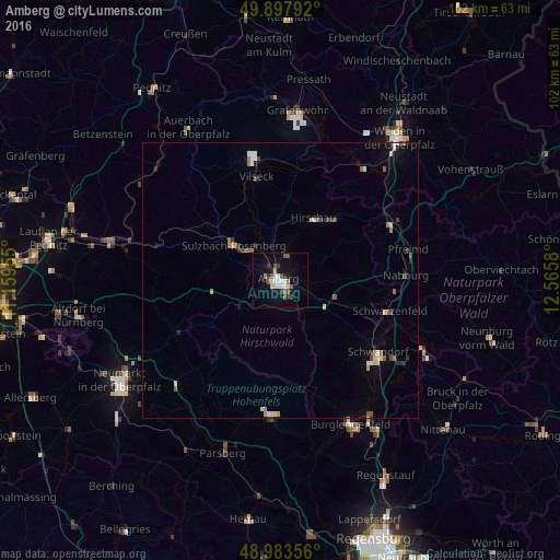
Analysis of Amberg night lights 2016
Square area 10x10 km:
 3.08%
3.08%90-99
3.22%80-89
0.98%70-79
0.42%60-69
1.54%50-59
3.92%40-49
1.4%30-39
2.24%20-29
2.24%10-19
10.08%0-9
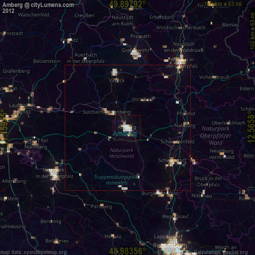
70.87%Square area 50x50 km:
0.28%90-99
0.31%80-89
0.29%70-79
0.15%60-69
0.3%50-59
0.46%40-49
0.26%30-39
0.37%20-29
0.29%10-19
0.73%0-9
96.58%Clear (daylight) street map image can be seen on geolist.org.
Map coordinates:
49° 53' 52.5" North, 11° 9' 34.4" East
49° 26' 34.3" North, 11° 51' 45.6" East
48° 59' 0.8" North, 12° 33' 56.9" East
Some cities around Amberg sort by population:
• Schwandorf in Bayern
22.2 km =13.8 mi,  126°
126°
• Sulzbach-Rosenberg
10.6 km =6.6 mi,  307°
307°
• Kümmersbruck
3.2 km =2 mi,  144°
144°
• Vilseck
19.6 km =12.2 mi,  347°
347°
• Schwarzenfeld
20.6 km =12.8 mi,  107°
107°
• Hirschau
12.8 km =8 mi,  28°
28°
• Nabburg
23 km =14.3 mi,  87°
87°
• Hahnbach
11 km =6.8 mi,  336°
336°
2956656 (p: 44,737)
Sources (retrieved 2019-11-25):
» Earth at Night: Flat Maps 2012, 2016