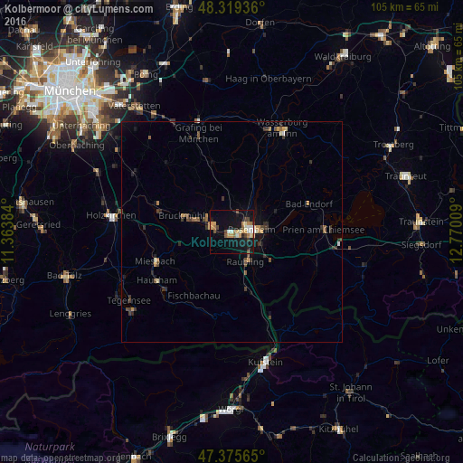
Kolbermoor night lights from space
Night Light of Kolbermoor (Bavaria) from space (Germany) Src. Average luminocity for 10x10km area is 22.8239% and for 50x50km: 2.4082%.
Analysis of Kolbermoor night lights 2016
Square area 10x10 km:
 2.27%
2.27%90-99
3.41%80-89
2.7%70-79
4.4%60-69
3.98%50-59
1.99%40-49
2.84%30-39
1.7%20-29
1.85%10-19
25.28%0-9
49.57%Square area 50x50 km:
0.13%90-99
0.23%80-89
0.19%70-79
0.41%60-69
0.3%50-59
0.37%40-49
0.45%30-39
0.63%20-29
0.47%10-19
1.65%0-9
95.16%Clear (daylight) street map image can be seen on geolist.org.
Map coordinates:
48° 19' 9.7" North, 11° 21' 49.8" East
47° 50' 58.7" North, 12° 4' 1.1" East
47° 22' 32.3" North, 12° 46' 12.3" East
Some cities around Kolbermoor sort by population:
• Rosenheim
4.2 km =2.6 mi,  79°
79°
• Bad Aibling
4.5 km =2.8 mi,  290°
290°
• Raubling
7.3 km =4.5 mi,  153°
153°
• Stephanskirchen
8.9 km =5.5 mi,  86°
86°
• Bad Feilnbach
9.5 km =5.9 mi,  206°
206°
• Großkarolinenfeld
4.7 km =2.9 mi,  12°
12°
• Tuntenhausen
10.3 km =6.4 mi,  337°
337°
• Rohrdorf
9.7 km =6 mi,  127°
127°
2886446 (p: 17,941)
Sources (retrieved 2019-11-25):
» Earth at Night: Flat Maps 2012, 2016