Rosenheim night lights from space
Night Light of Rosenheim (Bavaria) from space (Germany) Src. Average luminocity for 10x10km area is 23.4616% and for 50x50km: 2.2926%.
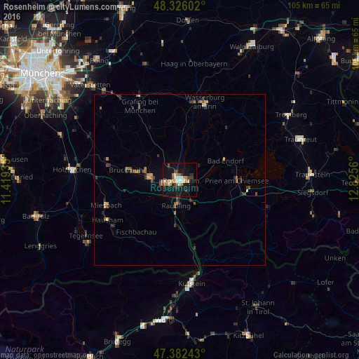
Analysis of Rosenheim night lights 2016
Square area 10x10 km:
 2.41%
2.41%90-99
4.12%80-89
1.99%70-79
4.55%60-69
3.98%50-59
0.85%40-49
1.85%30-39
3.84%20-29
3.13%10-19
31.25%0-9
42.05%Square area 50x50 km:
0.13%90-99
0.25%80-89
0.19%70-79
0.39%60-69
0.3%50-59
0.39%40-49
0.38%30-39
0.58%20-29
0.42%10-19
1.55%0-9
95.43%Clear (daylight) street map image can be seen on geolist.org.
Map coordinates:
48° 19' 33.7" North, 11° 25' 9.7" East
47° 51' 22.9" North, 12° 7' 20.9" East
47° 22' 56.7" North, 12° 49' 32.2" East
Some cities around Rosenheim sort by population:
• Kolbermoor
4.2 km =2.6 mi,  259°
259°
• Bad Aibling
8.4 km =5.2 mi,  275°
275°
• Raubling
7.4 km =4.6 mi,  186°
186°
• Stephanskirchen
4.7 km =2.9 mi,  93°
93°
• Großkarolinenfeld
4.9 km =3 mi,  321°
321°
• Tuntenhausen
11.9 km =7.4 mi, 317°
• Rohrdorf
7.5 km =4.7 mi,  151°
151°
• Riedering
6.7 km =4.2 mi,  107°
107°
2844988 (p: 60,167)
Sources (retrieved 2019-11-25):
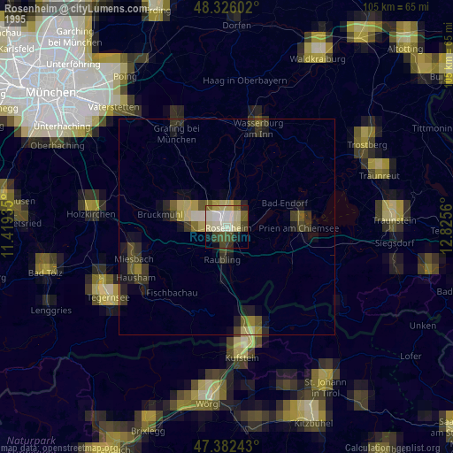
» NASA, Earths city lights 1995
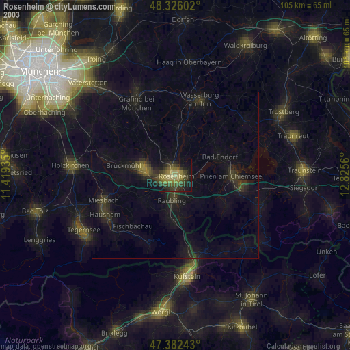
» NASA city lights 2003
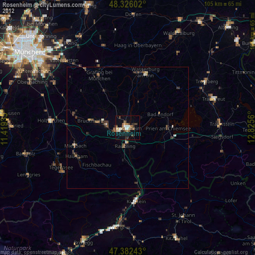
» Earth at Night: Flat Maps 2012, 2016