Großkarolinenfeld night lights from space
Night Light of Großkarolinenfeld (Bavaria) from space (Germany) Src. Average luminocity for 10x10km area is 18.9347% and for 50x50km: 2.6568%.
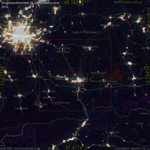
Analysis of Großkarolinenfeld night lights 2016
Square area 10x10 km:
 2.56%
2.56%90-99
3.98%80-89
1.7%70-79
3.27%60-69
3.27%50-59
0.99%40-49
2.7%30-39
1.7%20-29
0.28%10-19
15.77%0-9
63.78%Square area 50x50 km:
0.13%90-99
0.25%80-89
0.23%70-79
0.43%60-69
0.36%50-59
0.44%40-49
0.5%30-39
0.71%20-29
0.55%10-19
1.8%0-9
94.59%Clear (daylight) street map image can be seen on geolist.org.
Map coordinates:
48° 21' 37.3" North, 11° 22' 40.4" East
47° 53' 27.7" North, 12° 4' 51.6" East
47° 25' 2.6" North, 12° 47' 2.9" East
Some cities around Großkarolinenfeld sort by population:
• Rosenheim
4.9 km =3 mi,  141°
141°
• Kolbermoor
4.7 km =2.9 mi,  192°
192°
• Bad Aibling
6.1 km =3.8 mi,  240°
240°
• Raubling
11.4 km =7.1 mi,  168°
168°
• Stephanskirchen
8.8 km =5.5 mi,  117°
117°
• Tuntenhausen
6.9 km =4.3 mi,  314°
314°
• Rohrdorf
12.4 km =7.7 mi,  147°
147°
• Riedering
11.1 km =6.9 mi, 121°
2915438 (p: 6,865)
Sources (retrieved 2019-11-25):
» Earth at Night: Flat Maps 2012, 2016