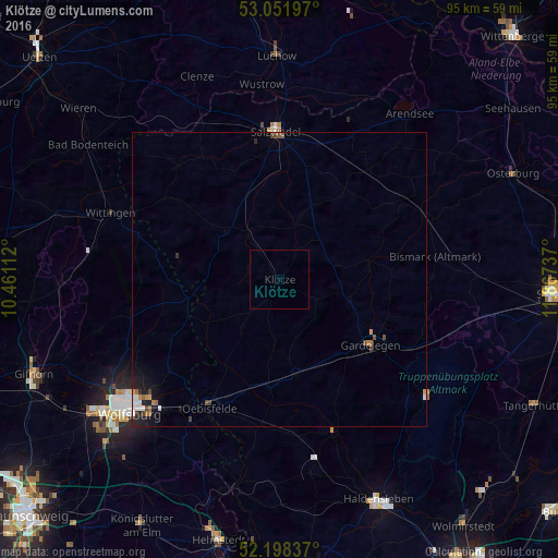
Klötze night lights from space
Night Light of Klötze (Saxony-Anhalt) from space (Germany) Src. Average luminocity for 10x10km area is 0% and for 50x50km: 0.8218%.
Analysis of Klötze night lights 2016
Square area 10x10 km:
 0%
0%90-99
0%80-89
0%70-79
0%60-69
0%50-59
0%40-49
0%30-39
0%20-29
0%10-19
0%0-9
100%Square area 50x50 km:
0.13%90-99
0.12%80-89
0%70-79
0.09%60-69
0.16%50-59
0.11%40-49
0.16%30-39
0.14%20-29
0.18%10-19
0.61%0-9
98.3%Clear (daylight) street map image can be seen on geolist.org.
Map coordinates:
53° 3' 7.1" North, 10° 27' 40" East
52° 37' 38.1" North, 11° 9' 51.3" East
52° 11' 54.1" North, 11° 52' 2.5" East
Some cities around Klötze sort by population:
• Wolfsburg
34.3 km =21.3 mi,  228°
228°
• Salzwedel
25.3 km =15.7 mi,  358°
358°
• Wittingen
30.9 km =19.2 mi,  291°
291°
• Gardelegen
19.3 km =12 mi,  126°
126°
• Sassenburg
37.9 km =23.5 mi,  251°
251°
• Lüchow
37.9 km =23.5 mi, 358°
• Westhagen
38 km =23.6 mi, 229°
• Oebisfelde
24.6 km =15.3 mi,  209°
209°
2887380 (p: 5,398)
Sources (retrieved 2019-11-25):
» Earth at Night: Flat Maps 2012, 2016