Westhagen night lights from space
Night Light of Westhagen (Lower Saxony) from space (Germany) Src. Average luminocity for 10x10km area is 40.298% and for 50x50km: 6.6826%.
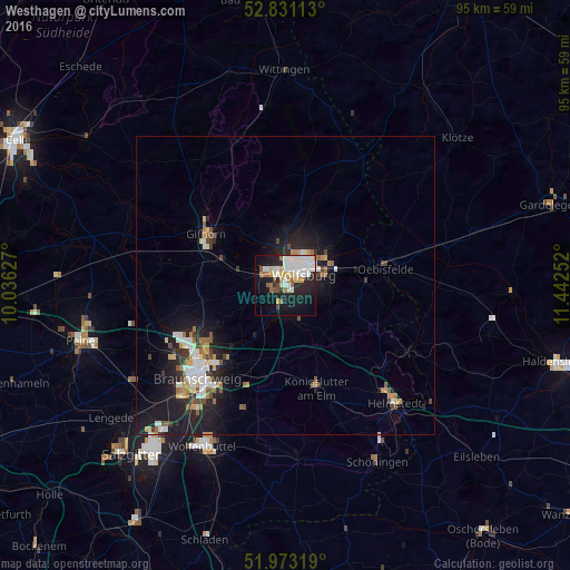
Analysis of Westhagen night lights 2016
Square area 10x10 km:
 11.24%
90-99
10.73%80-89
3.91%70-79
2.78%60-69
4.04%50-59
3.66%40-49
1.77%30-39
1.39%20-29
11.74%10-19
23.23%0-9
25.51%Square area 50x50 km:
1.18%90-99
1.24%80-89
0.49%70-79
0.76%60-69
0.76%50-59
0.77%40-49
0.69%30-39
0.61%20-29
2.01%10-19
6.14%0-9
85.35%Clear (daylight) street map image can be seen on geolist.org.
Map coordinates:
52° 49' 52.1" North, 10° 2' 10.6" East
52° 24' 15.3" North, 10° 44' 21.8" East
51° 58' 23.5" North, 11° 26' 33.1" East
Some cities around Westhagen sort by population:
• Wolfsburg
3.6 km =2.2 mi,  51°
51°
• Gifhorn
15.2 km =9.4 mi,  302°
302°
• Königslutter am Elm
17.8 km =11.1 mi,  162°
162°
• Lehre
9.3 km =5.8 mi,  212°
212°
• Sassenburg
14.4 km =8.9 mi,  330°
330°
• Detmerode
1.6 km =1 mi,  166°
166°
• Oebisfelde
17.2 km =10.7 mi,  78°
78°
• Isenbüttel
11.1 km =6.9 mi,  286°
286°
11101906 (p: 9,206)
Sources (retrieved 2019-11-25):
» Earth at Night: Flat Maps 2012, 2016