Lüchow night lights from space
Night Light of Lüchow (Lower Saxony) from space (Germany) Src. Average luminocity for 10x10km area is 1.3003% and for 50x50km: 0.3066%.
Analysis of Lüchow night lights 2016
Square area 10x10 km:
 0%
0%90-99
0%80-89
0%70-79
0%60-69
0.13%50-59
0.93%40-49
0%30-39
1.59%20-29
0%10-19
0%0-9
97.35%Square area 50x50 km:
0.04%90-99
0.02%80-89
0.02%70-79
0.04%60-69
0.05%50-59
0.07%40-49
0.08%30-39
0.07%20-29
0.04%10-19
0.04%0-9
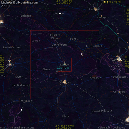
99.52%Clear (daylight) street map image can be seen on geolist.org.
Map coordinates:
53° 23' 22.2" North, 10° 27' 3.1" East
52° 58' 5.2" North, 11° 9' 14.3" East
52° 32' 33.3" North, 11° 51' 25.6" East
Some cities around Lüchow sort by population:
• Uelzen
39.7 km =24.7 mi,  269°
269°
• Salzwedel
12.6 km =7.8 mi,  180°
180°
• Wittenberge
40.1 km =24.9 mi,  84°
84°
• Wittingen
38.8 km =24.1 mi,  226°
226°
• Bad Bevensen
40.2 km =25 mi,  287°
287°
• Dannenberg
14.9 km =9.3 mi,  343°
343°
• Klötze
37.9 km =23.5 mi, 178°
• Hitzacker
21.8 km =13.5 mi, 340°
2875542 (p: 9,678)
Sources (retrieved 2019-11-25):
» Earth at Night: Flat Maps 2012, 2016