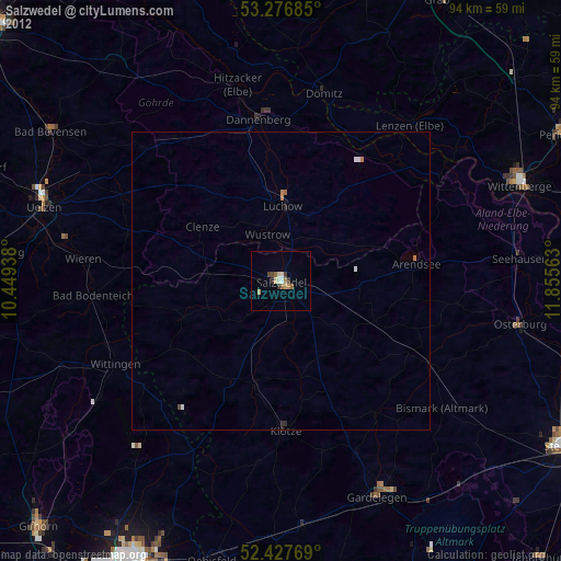
Salzwedel night lights from space
Night Light of Salzwedel (Saxony-Anhalt) from space (Germany) Src. Average luminocity for 10x10km area is 5.0985% and for 50x50km: 0.3141%.
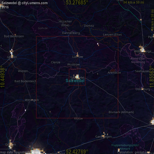
Analysis of Salzwedel night lights 2016
Square area 10x10 km:
 0.76%
0.76%90-99
0.25%80-89
0.51%70-79
1.01%60-69
1.01%50-59
0.88%40-49
1.52%30-39
0.13%20-29
0.51%10-19
0.51%0-9
92.93%Square area 50x50 km:
0.04%90-99
0.02%80-89
0.02%70-79
0.04%60-69
0.05%50-59
0.07%40-49
0.08%30-39
0.08%20-29
0.05%10-19
0.04%0-9
99.5%Clear (daylight) street map image can be seen on geolist.org.
Map coordinates:
53° 16' 36.7" North, 10° 26' 57.8" East
52° 51' 15.7" North, 11° 9' 9" East
52° 25' 39.7" North, 11° 51' 20.3" East
Some cities around Salzwedel sort by population:
• Uelzen
41.5 km =25.8 mi,  287°
287°
• Wittingen
31.4 km =19.5 mi,  243°
243°
• Gardelegen
40.1 km =24.9 mi,  155°
155°
• Lüchow
12.6 km =7.8 mi,  0°
0°
• Dannenberg
27.3 km =17 mi,  351°
351°
• Osterburg
41 km =25.5 mi,  100°
100°
• Klötze
25.3 km =15.7 mi,  178°
178°
• Hitzacker
33.9 km =21.1 mi, 347°
2842112 (p: 21,058)
Sources (retrieved 2019-11-25):
» Earth at Night: Flat Maps 2012, 2016