Gardelegen night lights from space
Night Light of Gardelegen (Saxony-Anhalt) from space (Germany) Src. Average luminocity for 10x10km area is 2.4101% and for 50x50km: 0.3383%.
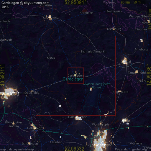
Analysis of Gardelegen night lights 2016
Square area 10x10 km:
 0%
0%90-99
0%80-89
0%70-79
0.53%60-69
1.06%50-59
0.4%40-49
1.72%30-39
0%20-29
0%10-19
0%0-9
96.3%Square area 50x50 km:
0.04%90-99
0.05%80-89
0%70-79
0.09%60-69
0.08%50-59
0.02%40-49
0.1%30-39
0.02%20-29
0.01%10-19
0%0-9
99.6%Clear (daylight) street map image can be seen on geolist.org.
Map coordinates:
52° 57' 3.3" North, 10° 41' 31.6" East
52° 31' 30.7" North, 11° 23' 42.8" East
52° 5' 43.2" North, 12° 5' 54.1" East
Some cities around Gardelegen sort by population:
• Stendal
32.6 km =20.3 mi,  73°
73°
• Haldensleben I
26.3 km =16.3 mi,  177°
177°
• Wolmirstedt
34.6 km =21.5 mi,  152°
152°
• Oebisfelde
29.4 km =18.3 mi,  249°
249°
• Osterburg
37.8 km =23.5 mi,  39°
39°
• Tangerhütte
29.6 km =18.4 mi,  109°
109°
• Barleben
39 km =24.2 mi,  157°
157°
• Klötze
19.3 km =12 mi,  306°
306°
2922580 (p: 11,868)
Sources (retrieved 2019-11-25):
» Earth at Night: Flat Maps 2012, 2016