Kemnath night lights from space
Night Light of Kemnath (Bavaria) from space (Germany) Src. Average luminocity for 10x10km area is 1.4786% and for 50x50km: 2.5888%.
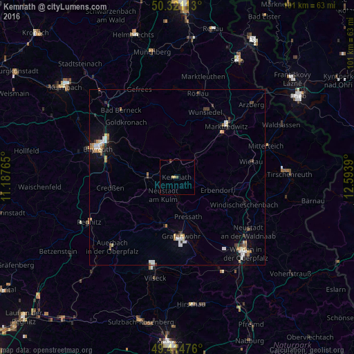
Analysis of Kemnath night lights 2016
Square area 10x10 km:
 0%
0%90-99
0%80-89
1.07%70-79
0%60-69
0%50-59
0%40-49
1.07%30-39
0%20-29
0%10-19
0%0-9
97.86%Square area 50x50 km:
0.45%90-99
0.37%80-89
0.25%70-79
0.36%60-69
0.34%50-59
0.13%40-49
0.33%30-39
0.36%20-29
0.28%10-19
1.27%0-9
95.84%Clear (daylight) street map image can be seen on geolist.org.
Map coordinates:
50° 19' 16.1" North, 11° 11' 15.5" East
49° 52' 12.3" North, 11° 53' 26.8" East
49° 24' 53.1" North, 12° 35' 38" East
Some cities around Kemnath sort by population:
• Marktredwitz
20.5 km =12.7 mi,  43°
43°
• Wunsiedel
20.5 km =12.7 mi,  23°
23°
• Neunkirchen am Main
18.4 km =11.4 mi,  288°
288°
• Berg
19 km =11.8 mi,  109°
109°
• Grafenwöhr
17 km =10.6 mi,  176°
176°
• Speichersdorf
7.9 km =4.9 mi,  271°
271°
• Windischeschenbach
20.6 km =12.8 mi, 111°
• Erbendorf
11.6 km =7.2 mi, 106°
2891668 (p: 5,322)
Sources (retrieved 2019-11-25):
» Earth at Night: Flat Maps 2012, 2016