Grafenwöhr night lights from space
Night Light of Grafenwöhr (Bavaria) from space (Germany) Src. Average luminocity for 10x10km area is 10.623% and for 50x50km: 2.1437%.
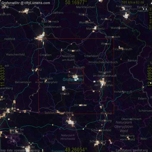
Analysis of Grafenwöhr night lights 2016
Square area 10x10 km:
 2.67%
2.67%90-99
1.87%80-89
0.8%70-79
1.6%60-69
0.53%50-59
0%40-49
0.94%30-39
1.74%20-29
0.53%10-19
1.34%0-9
87.97%Square area 50x50 km:
0.33%90-99
0.29%80-89
0.23%70-79
0.24%60-69
0.3%50-59
0.23%40-49
0.26%30-39
0.34%20-29
0.17%10-19
0.82%0-9
96.78%Clear (daylight) street map image can be seen on geolist.org.
Map coordinates:
50° 10' 11.2" North, 11° 12' 12" East
49° 43' 2.2" North, 11° 54' 23.2" East
49° 15' 37.9" North, 12° 36' 34.5" East
Some cities around Grafenwöhr sort by population:
• Weiden
18.5 km =11.5 mi,  104°
104°
• Auerbach
19.8 km =12.3 mi,  261°
261°
• Vilseck
13.6 km =8.5 mi,  213°
213°
• Speichersdorf
19.3 km =12 mi,  332°
332°
• Hirschau
19.5 km =12.1 mi,  171°
171°
• Neustadt an der Waldnaab
19.6 km =12.2 mi,  84°
84°
• Erbendorf
16.9 km =10.5 mi,  36°
36°
• Kemnath
17 km =10.6 mi,  356°
356°
2918258 (p: 6,790)
Sources (retrieved 2019-11-25):
» Earth at Night: Flat Maps 2012, 2016