Kehl night lights from space
Night Light of Kehl (Baden-Württemberg) from space (Germany) Src. Average luminocity for 10x10km area is 59.3214% and for 50x50km: 21.8041%.
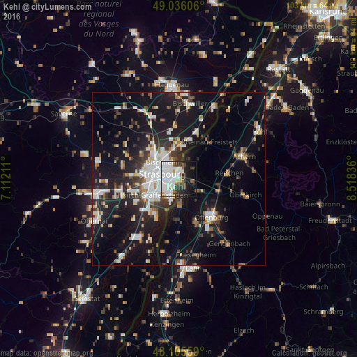
Analysis of Kehl night lights 2016
Square area 10x10 km:
 25.6%
25.6%90-99
17.41%80-89
1.34%70-79
2.83%60-69
2.23%50-59
4.32%40-49
5.06%30-39
7.14%20-29
8.33%10-19
16.22%0-9
9.52%Square area 50x50 km:
4.64%90-99
4.23%80-89
1.57%70-79
1.62%60-69
1.83%50-59
2.09%40-49
2.32%30-39
3.41%20-29
6.15%10-19
19.56%0-9
52.56%Clear (daylight) street map image can be seen on geolist.org.
Map coordinates:
49° 2' 9.8" North, 7° 6' 43.6" East
48° 34' 22.7" North, 7° 48' 54.8" East
48° 6' 20.1" North, 8° 31' 6.1" East
Some cities around Kehl sort by population:
• Strasbourg, FR
5.3 km =3.3 mi,  283°
283°
• Schiltigheim, FR
6.2 km =3.9 mi,  308°
308°
• Illkirch-Graffenstaden, FR
8.8 km =5.5 mi,  236°
236°
• Bischheim, FR
6.6 km =4.1 mi,  316°
316°
• Ostwald, FR
8.3 km =5.2 mi,  247°
247°
• Hœnheim, FR
7 km =4.3 mi, 321°
• Willstätt
6.8 km =4.2 mi,  122°
122°
• Souffelweyersheim, FR
8.8 km =5.5 mi, 321°
2891951 (p: 34,009)
Sources (retrieved 2019-11-25):
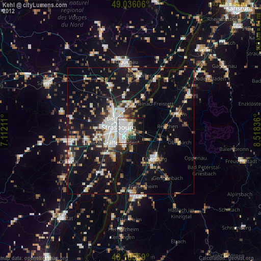
» Earth at Night: Flat Maps 2012, 2016