Bischheim night lights from space
Night Light of Bischheim (Grand Est) from space (France) Src. Average luminocity for 10x10km area is 84.2649% and for 50x50km: 23.2564%.
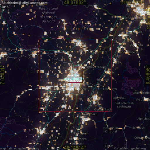
Analysis of Bischheim night lights 2016
Square area 10x10 km:
 41.22%
90-99
26.79%80-89
6.1%70-79
2.98%60-69
2.83%50-59
2.83%40-49
3.13%30-39
12.35%20-29
1.79%10-19
0%0-9
0%Square area 50x50 km:
4.87%90-99
4.52%80-89
1.84%70-79
1.84%60-69
2.09%50-59
2.17%40-49
2.34%30-39
3.43%20-29
6.33%10-19
20.77%0-9
49.8%Clear (daylight) street map image can be seen on geolist.org.
Map coordinates:
49° 4' 43.8" North, 7° 3' 1.1" East
48° 36' 58" North, 7° 45' 12.3" East
48° 8' 56.9" North, 8° 27' 23.6" East
Some cities around Bischheim sort by population:
• Strasbourg
3.6 km =2.2 mi,  189°
189°
• Kehl, DE
6.6 km =4.1 mi,  136°
136°
• Schiltigheim
1 km =0.6 mi,  197°
197°
• Hœnheim
0.7 km =0.4 mi,  12°
12°
• Souffelweyersheim
2.3 km =1.4 mi,  337°
337°
• Eckbolsheim
6.2 km =3.9 mi,  230°
230°
• Mundolsheim
4.1 km =2.5 mi,  314°
314°
• Reichstett
3.6 km =2.2 mi,  1°
1°
3032551 (p: 17,434)
Sources (retrieved 2019-11-25):
» Earth at Night: Flat Maps 2012, 2016