Strasbourg night lights from space
Night Light of Strasbourg (Grand Est) from space (France) Src. Average luminocity for 10x10km area is 93.7381% and for 50x50km: 22.7913%.
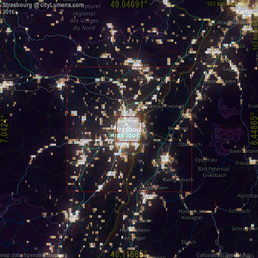
Analysis of Strasbourg night lights 2016
Square area 10x10 km:
 51.19%
90-99
33.48%80-89
3.27%70-79
3.27%60-69
3.42%50-59
1.49%40-49
1.19%30-39
2.68%20-29
0%10-19
0%0-9
0%Square area 50x50 km:
4.71%90-99
4.37%80-89
1.74%70-79
1.75%60-69
1.93%50-59
2.22%40-49
2.49%30-39
3.49%20-29
6.28%10-19
20.78%0-9
50.23%Clear (daylight) street map image can be seen on geolist.org.
Map coordinates:
49° 2' 48.9" North, 7° 2' 32.6" East
48° 35' 2.1" North, 7° 44' 43.9" East
48° 6' 59.9" North, 8° 26' 55.1" East
Some cities around Strasbourg sort by population:
• Kehl, DE
5.3 km =3.3 mi,  103°
103°
• Schiltigheim
2.6 km =1.6 mi,  6°
6°
• Bischheim
3.6 km =2.2 mi, 9°
• Lingolsheim
5.5 km =3.4 mi,  237°
237°
• Ostwald
5.1 km =3.2 mi,  209°
209°
• Hœnheim
4.3 km =2.7 mi, 9°
• Souffelweyersheim
5.7 km =3.5 mi,  356°
356°
• Eckbolsheim
4.3 km =2.7 mi,  265°
265°
2973783 (p: 274,845)
Sources (retrieved 2019-11-25):
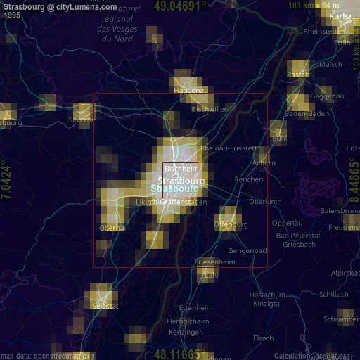
» NASA, Earths city lights 1995
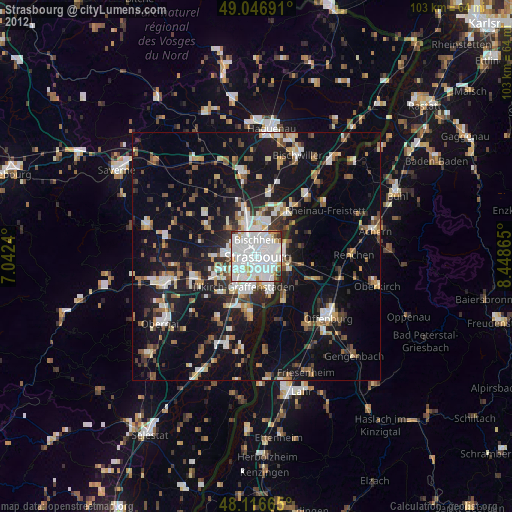
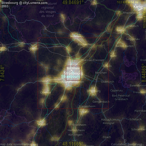
» NASA city lights 2003
» Earth at Night: Flat Maps 2012, 2016