Schiltigheim night lights from space
Night Light of Schiltigheim (Grand Est) from space (France) Src. Average luminocity for 10x10km area is 87.808% and for 50x50km: 23.1773%.
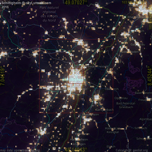
Analysis of Schiltigheim night lights 2016
Square area 10x10 km:
 45.54%
90-99
28.57%80-89
5.8%70-79
2.53%60-69
2.83%50-59
2.38%40-49
2.38%30-39
9.23%20-29
0.74%10-19
0%0-9
0%Square area 50x50 km:
4.82%90-99
4.5%80-89
1.85%70-79
1.83%60-69
2.04%50-59
2.21%40-49
2.36%30-39
3.46%20-29
6.28%10-19
20.74%0-9
49.91%Clear (daylight) street map image can be seen on geolist.org.
Map coordinates:
49° 4' 13" North, 7° 2' 46.3" East
48° 36' 27" North, 7° 44' 57.5" East
48° 8' 25.5" North, 8° 27' 8.8" East
Some cities around Schiltigheim sort by population:
• Strasbourg
2.6 km =1.6 mi,  186°
186°
• Kehl, DE
6.2 km =3.9 mi,  128°
128°
• Bischheim
1 km =0.6 mi,  17°
17°
• Hœnheim
1.7 km =1.1 mi, 15°
• Souffelweyersheim
3.2 km =2 mi,  349°
349°
• Eckbolsheim
5.4 km =3.4 mi,  236°
236°
• Mundolsheim
4.7 km =2.9 mi,  325°
325°
• Reichstett
4.6 km =2.9 mi,  4°
4°
2975446 (p: 32,289)
Sources (retrieved 2019-11-25):
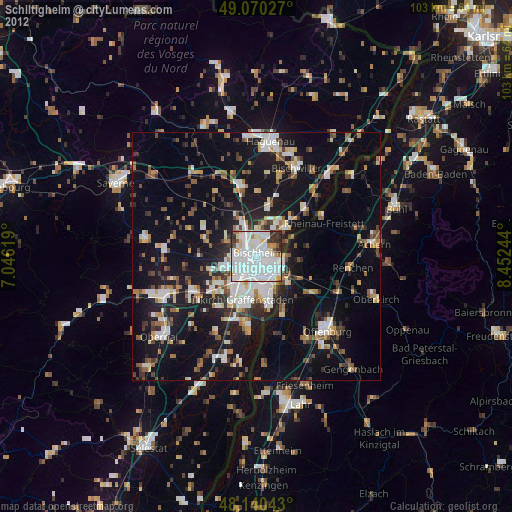
» Earth at Night: Flat Maps 2012, 2016