Karlshuld night lights from space
Night Light of Karlshuld (Bavaria) from space (Germany) Src. Average luminocity for 10x10km area is 1.5179% and for 50x50km: 5.0177%.
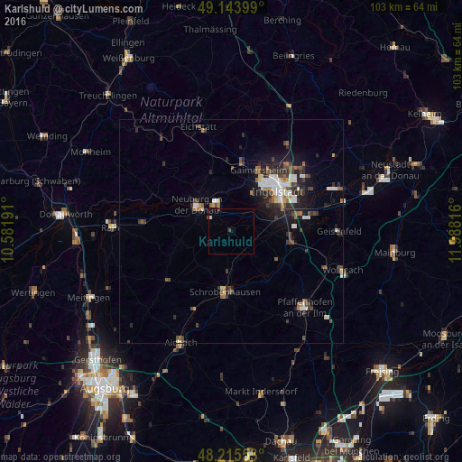
Analysis of Karlshuld night lights 2016
Square area 10x10 km:
 0.45%
0.45%90-99
0.15%80-89
0%70-79
0%60-69
0%50-59
0%40-49
0.89%30-39
0%20-29
0%10-19
0%0-9
98.51%Square area 50x50 km:
0.79%90-99
0.77%80-89
0.31%70-79
0.33%60-69
0.54%50-59
0.7%40-49
1.06%30-39
0.91%20-29
1.7%10-19
2.72%0-9
90.15%Clear (daylight) street map image can be seen on geolist.org.
Map coordinates:
49° 8' 38.4" North, 10° 34' 54.9" East
48° 40' 54.8" North, 11° 17' 6.1" East
48° 12' 55.9" North, 11° 59' 17.4" East
Some cities around Karlshuld sort by population:
• Ingolstadt
13.7 km =8.5 mi,  47°
47°
• Neuburg an der Donau
9.1 km =5.7 mi,  307°
307°
• Schrobenhausen
13.6 km =8.5 mi,  187°
187°
• Manching
15.8 km =9.8 mi,  75°
75°
• Gaimersheim
15.2 km =9.4 mi,  23°
23°
• Reichertshofen
13.6 km =8.5 mi,  101°
101°
• Pöttmes
18.1 km =11.2 mi,  233°
233°
• Rennertshofen
19.6 km =12.2 mi,  296°
296°
2892810 (p: 5,012)
Sources (retrieved 2019-11-25):
» Earth at Night: Flat Maps 2012, 2016