Hohen Neuendorf night lights from space
Night Light of Hohen Neuendorf (Brandenburg) from space (Germany) Src. Average luminocity for 10x10km area is 19.9167% and for 50x50km: 24.3704%.
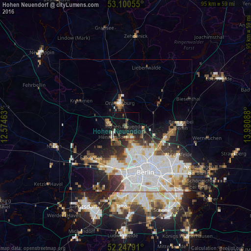
Analysis of Hohen Neuendorf night lights 2016
Square area 10x10 km:
 0.93%
0.93%90-99
3.17%80-89
1.19%70-79
0.53%60-69
3.17%50-59
2.12%40-49
4.23%30-39
1.72%20-29
5.95%10-19
42.2%0-9
34.79%Square area 50x50 km:
8.29%90-99
6.15%80-89
1.98%70-79
1.69%60-69
1.95%50-59
2.16%40-49
2.37%30-39
2.66%20-29
3.89%10-19
7.79%0-9
61.07%Clear (daylight) street map image can be seen on geolist.org.
Map coordinates:
53° 6' 2" North, 12° 34' 28.7" East
52° 40' 34.7" North, 13° 16' 39.9" East
52° 14' 52.5" North, 13° 58' 51.2" East
Some cities around Hohen Neuendorf sort by population:
• Hennigsdorf
6.7 km =4.2 mi,  227°
227°
• Heiligensee
7.2 km =4.5 mi,  197°
197°
• Frohnau
4.8 km =3 mi,  169°
169°
• Hermsdorf
7.2 km =4.5 mi,  164°
164°
• Velten
7.1 km =4.4 mi,  283°
283°
• Glienicke
5.7 km =3.5 mi,  145°
145°
• Birkenwerder
1.6 km =1 mi,  1°
1°
• Leegebruch
7.7 km =4.8 mi,  312°
312°
2901588 (p: 21,893)
Sources (retrieved 2019-11-25):
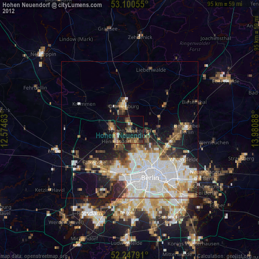
» Earth at Night: Flat Maps 2012, 2016