Schwalbach night lights from space
Night Light of Schwalbach (Saarland) from space (Germany) Src. Average luminocity for 10x10km area is 30.8209% and for 50x50km: 18.6528%.
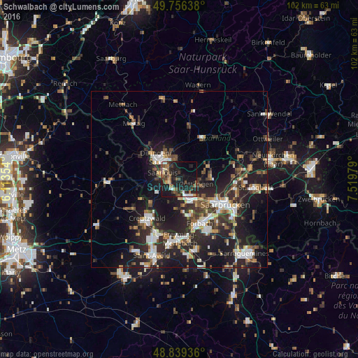
Analysis of Schwalbach night lights 2016
Square area 10x10 km:
 4.28%
4.28%90-99
2.67%80-89
2.41%70-79
1.87%60-69
6.15%50-59
5.61%40-49
6.28%30-39
4.14%20-29
13.1%10-19
36.36%0-9
17.11%Square area 50x50 km:
2.93%90-99
3.03%80-89
1.2%70-79
1.66%60-69
2.27%50-59
2.68%40-49
2.74%30-39
3.42%20-29
8.47%10-19
15.84%0-9
55.75%Clear (daylight) street map image can be seen on geolist.org.
Map coordinates:
49° 45' 23" North, 6° 6' 48.7" East
49° 18' 0" North, 6° 49' 0" East
48° 50' 21.7" North, 7° 31' 11.2" East
Some cities around Schwalbach sort by population:
• Völklingen
6.2 km =3.9 mi,  150°
150°
• Saarlouis
5 km =3.1 mi,  287°
287°
• Püttlingen
5.4 km =3.4 mi,  107°
107°
• Wadgassen
4.4 km =2.7 mi,  213°
213°
• Saarwellingen
6.1 km =3.8 mi,  351°
351°
• Wallerfangen
8.2 km =5.1 mi, 291°
• Bous
2.8 km =1.7 mi,  203°
203°
• Ensdorf
2.4 km =1.5 mi,  270°
270°
2835382 (p: 18,708)
Sources (retrieved 2019-11-25):
» Earth at Night: Flat Maps 2012, 2016