Versmold night lights from space
Night Light of Versmold (North Rhine-Westphalia) from space (Germany) Src. Average luminocity for 10x10km area is 2.3927% and for 50x50km: 4.972%.
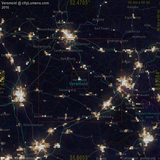
Analysis of Versmold night lights 2016
Square area 10x10 km:
 0.13%
0.13%90-99
0.88%80-89
0%70-79
0%60-69
0.51%50-59
0.51%40-49
0%30-39
0.51%20-29
0%10-19
0%0-9
97.47%Square area 50x50 km:
0.36%90-99
0.58%80-89
0.41%70-79
0.36%60-69
0.94%50-59
0.77%40-49
1.03%30-39
0.82%20-29
1.33%10-19
4.1%0-9
89.3%Clear (daylight) street map image can be seen on geolist.org.
Map coordinates:
52° 28' 13.8" North, 7° 26' 58.5" East
52° 2' 24.3" North, 8° 9' 9.8" East
51° 36' 19.8" North, 8° 51' 21" East
Some cities around Versmold sort by population:
• Harsewinkel
10.1 km =6.3 mi,  149°
149°
• Sassenberg
9.3 km =5.8 mi,  235°
235°
• Hilter
10.6 km =6.6 mi,  357°
357°
• Dissen
9 km =5.6 mi,  20°
20°
• Bad Laer
8.2 km =5.1 mi,  324°
324°
• Borgholzhausen
12.4 km =7.7 mi,  55°
55°
• Bad Rothenfelde
8.6 km =5.3 mi,  6°
6°
• Glandorf
11.6 km =7.2 mi,  295°
295°
2817537 (p: 20,996)
Sources (retrieved 2019-11-25):
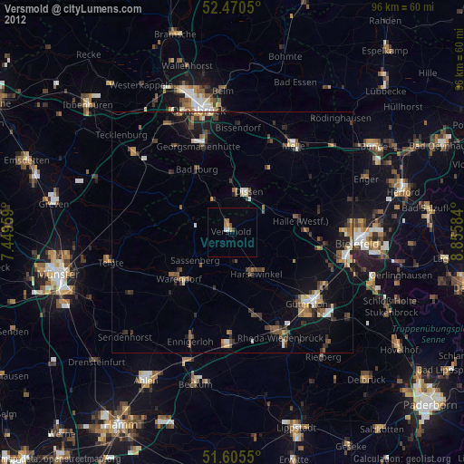
» Earth at Night: Flat Maps 2012, 2016