Halle night lights from space
Night Light of Halle (North Rhine-Westphalia) from space (Germany) Src. Average luminocity for 10x10km area is 2.3056% and for 50x50km: 8.7671%.
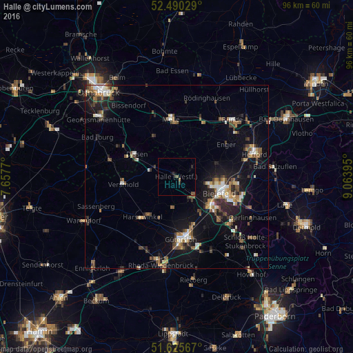
Analysis of Halle night lights 2016
Square area 10x10 km:
 0%
0%90-99
0%80-89
0%70-79
0%60-69
0.51%50-59
1.39%40-49
0.63%30-39
0.76%20-29
0.76%10-19
0.51%0-9
95.45%Square area 50x50 km:
0.9%90-99
1.24%80-89
0.78%70-79
0.7%60-69
1.4%50-59
1.47%40-49
1.58%30-39
1.25%20-29
2.24%10-19
6.56%0-9
81.88%Clear (daylight) street map image can be seen on geolist.org.
Map coordinates:
52° 29' 25" North, 7° 39' 27.7" East
52° 3' 36.3" North, 8° 21' 39" East
51° 37' 32.4" North, 9° 3' 50.2" East
Some cities around Halle sort by population:
• Bielefeld
12.2 km =7.6 mi,  104°
104°
• Harsewinkel
14.2 km =8.8 mi,  219°
219°
• Versmold
14.4 km =8.9 mi,  261°
261°
• Steinhagen
7.2 km =4.5 mi,  158°
158°
• Spenge
12.3 km =7.6 mi,  43°
43°
• Werther
4.4 km =2.7 mi,  63°
63°
• Dissen
12.6 km =7.8 mi,  299°
299°
• Borgholzhausen
6.3 km =3.9 mi,  320°
320°
2911520 (p: 21,071)
Sources (retrieved 2019-11-25):
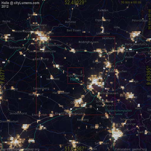
» Earth at Night: Flat Maps 2012, 2016