Bielefeld night lights from space
Night Light of Bielefeld (North Rhine-Westphalia) from space (Germany) Src. Average luminocity for 10x10km area is 44.3485% and for 50x50km: 8.8045%.
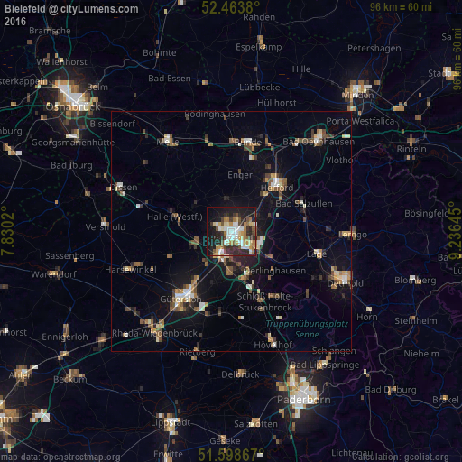
Analysis of Bielefeld night lights 2016
Square area 10x10 km:
 7.32%
7.32%90-99
8.33%80-89
6.44%70-79
4.92%60-69
7.45%50-59
4.04%40-49
5.93%30-39
5.18%20-29
18.31%10-19
24.62%0-9
7.45%Square area 50x50 km:
0.84%90-99
1.16%80-89
0.87%70-79
0.77%60-69
1.23%50-59
1.5%40-49
1.78%30-39
1.09%20-29
1.91%10-19
6%0-9
82.84%Clear (daylight) street map image can be seen on geolist.org.
Map coordinates:
52° 27' 49.7" North, 7° 49' 48.7" East
52° 1' 60" North, 8° 31' 60" East
51° 35' 55.2" North, 9° 14' 11.2" East
Some cities around Bielefeld sort by population:
• Herford
13.2 km =8.2 mi,  46°
46°
• Halle
12.2 km =7.6 mi,  284°
284°
• Steinhagen
9.8 km =6.1 mi,  247°
247°
• Enger
12 km =7.5 mi,  7°
7°
• Oerlinghausen
12.4 km =7.7 mi,  134°
134°
• Leopoldshöhe
11.5 km =7.1 mi,  101°
101°
• Spenge
12.3 km =7.6 mi,  344°
344°
• Werther
9.3 km =5.8 mi,  302°
302°
2949186 (p: 331,906)
Sources (retrieved 2019-11-25):
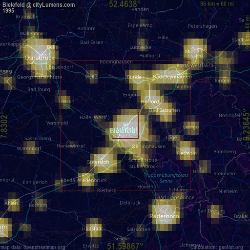
» NASA, Earths city lights 1995
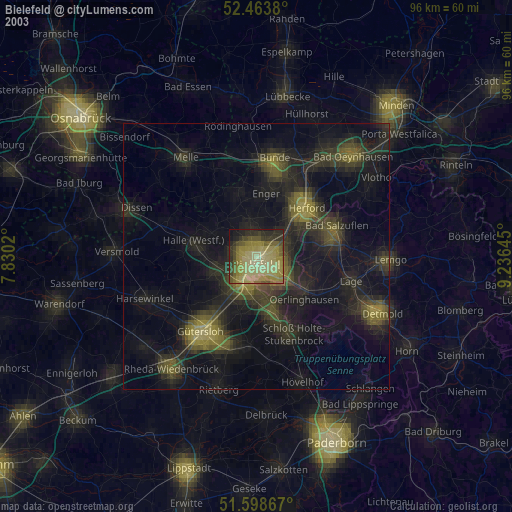
» NASA city lights 2003
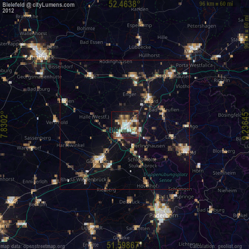
» Earth at Night: Flat Maps 2012, 2016