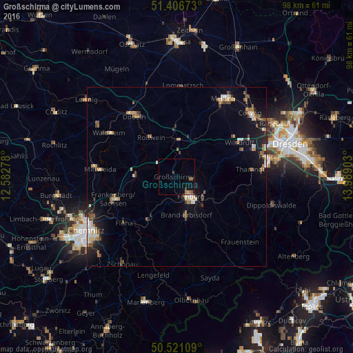
Großschirma night lights from space
Night Light of Großschirma (Saxony) from space (Germany) Src. Average luminocity for 10x10km area is 4.1863% and for 50x50km: 4.8251%.
Analysis of Großschirma night lights 2016
Square area 10x10 km:
 0%
0%90-99
0%80-89
0.28%70-79
0.42%60-69
1.12%50-59
1.26%40-49
1.26%30-39
0.14%20-29
0%10-19
3.78%0-9
91.74%Square area 50x50 km:
0.43%90-99
0.68%80-89
0.5%70-79
0.51%60-69
0.82%50-59
0.73%40-49
0.84%30-39
0.42%20-29
1.11%10-19
3.46%0-9
90.52%Clear (daylight) street map image can be seen on geolist.org.
Map coordinates:
51° 24' 24.2" North, 12° 34' 58" East
50° 57' 57.7" North, 13° 17' 9.2" East
50° 31' 15.9" North, 13° 59' 20.5" East
Some cities around Großschirma sort by population:
• Freiberg
7.2 km =4.5 mi,  148°
148°
• Frankenberg
18.2 km =11.3 mi,  251°
251°
• Brand-Erbisdorf
11.4 km =7.1 mi,  166°
166°
• Flöha
19.2 km =11.9 mi,  230°
230°
• Hainichen
11.4 km =7.1 mi,  272°
272°
• Nossen
10.3 km =6.4 mi,  4°
4°
• Roßwein
13.2 km =8.2 mi,  327°
327°
• Oederan
14.2 km =8.8 mi,  214°
214°
2915076 (p: 6,179)
Sources (retrieved 2019-11-25):
» Earth at Night: Flat Maps 2012, 2016