Roßwein night lights from space
Night Light of Roßwein (Saxony) from space (Germany) Src. Average luminocity for 10x10km area is 0.9626% and for 50x50km: 3.7411%.
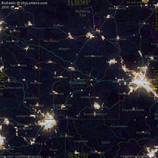
Analysis of Roßwein night lights 2016
Square area 10x10 km:
 0%
0%90-99
0%80-89
0%70-79
0%60-69
0.53%50-59
0.53%40-49
0%30-39
0%20-29
0%10-19
0%0-9
98.93%Square area 50x50 km:
0.3%90-99
0.52%80-89
0.43%70-79
0.44%60-69
0.54%50-59
0.54%40-49
0.61%30-39
0.43%20-29
0.9%10-19
1.88%0-9
93.4%Clear (daylight) street map image can be seen on geolist.org.
Map coordinates:
51° 30' 20.3" North, 12° 28' 47.9" East
51° 3' 57.2" North, 13° 10' 59.1" East
50° 37' 18.9" North, 13° 53' 10.4" East
Some cities around Roßwein sort by population:
• Döbeln
8.1 km =5 mi,  320°
320°
• Mittweida
17 km =10.6 mi,  238°
238°
• Hainichen
11.4 km =7.1 mi,  201°
201°
• Waldheim
11.4 km =7.1 mi,  273°
273°
• Nossen
8 km =5 mi,  96°
96°
• Hartha
15.1 km =9.4 mi,  283°
283°
• Großschirma
13.2 km =8.2 mi,  147°
147°
• Lommatzsch
16.9 km =10.5 mi,  31°
31°
2844604 (p: 7,568)
Sources (retrieved 2019-11-25):
» Earth at Night: Flat Maps 2012, 2016