Brand-Erbisdorf night lights from space
Night Light of Brand-Erbisdorf (Saxony) from space (Germany) Src. Average luminocity for 10x10km area is 7.9048% and for 50x50km: 3.5639%.
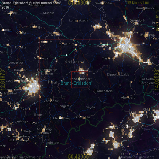
Analysis of Brand-Erbisdorf night lights 2016
Square area 10x10 km:
 0.84%
0.84%90-99
1.12%80-89
0.56%70-79
0.7%60-69
1.26%50-59
0.56%40-49
1.54%30-39
0.98%20-29
0.28%10-19
8.4%0-9
83.75%Square area 50x50 km:
0.32%90-99
0.57%80-89
0.29%70-79
0.4%60-69
0.53%50-59
0.49%40-49
0.67%30-39
0.53%20-29
0.87%10-19
2.57%0-9
92.75%Clear (daylight) street map image can be seen on geolist.org.
Map coordinates:
51° 18' 29.1" North, 12° 37' 11" East
50° 51' 59.1" North, 13° 19' 22.3" East
50° 25' 14" North, 14° 1' 33.5" East
Some cities around Brand-Erbisdorf sort by population:
• Freiberg
5.1 km =3.2 mi,  12°
12°
• Frankenberg
20.5 km =12.7 mi,  284°
284°
• Flöha
17.5 km =10.9 mi,  266°
266°
• Hainichen
18.2 km =11.3 mi,  309°
309°
• Nossen
21.4 km =13.3 mi,  355°
355°
• Oederan
10.6 km =6.6 mi, 266°
• Großschirma
11.4 km =7.1 mi,  346°
346°
• Augustusburg
16.7 km =10.4 mi,  248°
248°
2945341 (p: 11,284)
Sources (retrieved 2019-11-25):
» Earth at Night: Flat Maps 2012, 2016