Emmerich night lights from space
Night Light of Emmerich (North Rhine-Westphalia) from space (Germany) Src. Average luminocity for 10x10km area is 18.8053% and for 50x50km: 11.6614%.
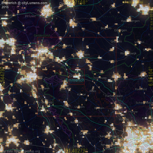
Analysis of Emmerich night lights 2016
Square area 10x10 km:
 4.2%
4.2%90-99
4.2%80-89
1.12%70-79
0.56%60-69
2.1%50-59
1.4%40-49
2.1%30-39
0%20-29
1.12%10-19
19.19%0-9
64.01%Square area 50x50 km:
1.11%90-99
1.49%80-89
1.33%70-79
1.21%60-69
1.57%50-59
2.05%40-49
1.68%30-39
1.44%20-29
2.46%10-19
10.45%0-9
75.22%Clear (daylight) street map image can be seen on geolist.org.
Map coordinates:
52° 16' 18" North, 5° 32' 41.2" East
51° 50' 21.6" North, 6° 14' 52.5" East
51° 24' 10" North, 6° 57' 3.7" East
Some cities around Emmerich sort by population:
• Doetinchem, NL
14.3 km =8.9 mi,  11°
11°
• Kleve
9.4 km =5.8 mi,  232°
232°
• Zevenaar, NL
15.8 km =9.8 mi,  309°
309°
• Rees
13.4 km =8.3 mi,  129°
129°
• Wisch, NL
15.1 km =9.4 mi,  50°
50°
• Kalkar
11.5 km =7.1 mi,  165°
165°
• Isselburg
14.9 km =9.3 mi,  93°
93°
• Kranenburg
17.1 km =10.6 mi,  248°
248°
2930509 (p: 29,289)
Sources (retrieved 2019-11-25):
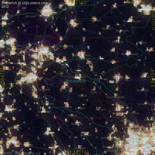
» Earth at Night: Flat Maps 2012, 2016