Doetinchem night lights from space
Night Light of Doetinchem (Gelderland) from space (Netherlands) Src. Average luminocity for 10x10km area is 25.9583% and for 50x50km: 10.9396%.
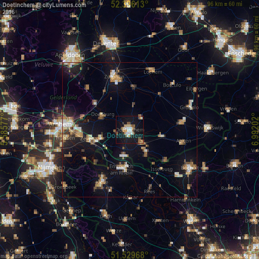
Analysis of Doetinchem night lights 2016
Square area 10x10 km:
 3.28%
3.28%90-99
4.42%80-89
2.53%70-79
3.54%60-69
3.28%50-59
4.04%40-49
2.78%30-39
0.76%20-29
2.78%10-19
39.02%0-9
33.59%Square area 50x50 km:
0.97%90-99
1.49%80-89
1.02%70-79
1.15%60-69
1.82%50-59
1.85%40-49
1.57%30-39
1.02%20-29
2.09%10-19
9.99%0-9
77.04%Clear (daylight) street map image can be seen on geolist.org.
Map coordinates:
52° 23' 46.1" North, 5° 35' 8.8" East
51° 57' 54" North, 6° 17' 20" East
51° 31' 46.8" North, 6° 59' 31.3" East
Some cities around Doetinchem sort by population:
• Emmerich, DE
14.3 km =8.9 mi,  191°
191°
• Zevenaar
15.4 km =9.6 mi,  255°
255°
• Brummen
16.6 km =10.3 mi,  326°
326°
• Wisch
9.8 km =6.1 mi,  115°
115°
• Dieren
16.2 km =10.1 mi,  306°
306°
• Doesburg
11.5 km =7.1 mi,  297°
297°
• Zelhem
6.2 km =3.9 mi,  41°
41°
• Varsseveld
11.9 km =7.4 mi,  101°
101°
2756767 (p: 49,906)
Sources (retrieved 2019-11-25):
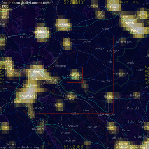
» NASA, Earths city lights 1995
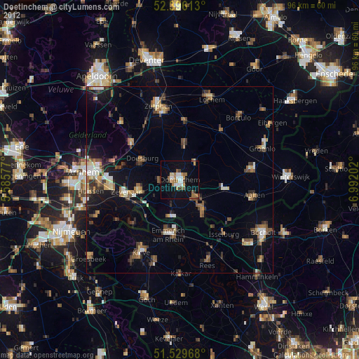
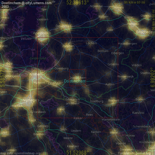
» NASA city lights 2003
» Earth at Night: Flat Maps 2012, 2016