Isselburg night lights from space
Night Light of Isselburg (North Rhine-Westphalia) from space (Germany) Src. Average luminocity for 10x10km area is 5.7549% and for 50x50km: 8.5251%.
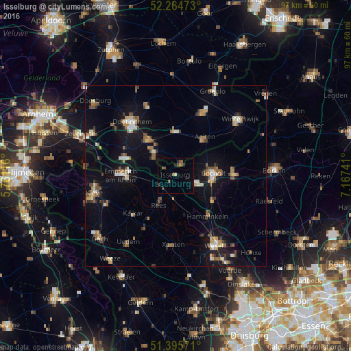
Analysis of Isselburg night lights 2016
Square area 10x10 km:
 0%
0%90-99
0%80-89
0.56%70-79
0%60-69
0.56%50-59
3.5%40-49
2.1%30-39
0%20-29
1.54%10-19
0.7%0-9
91.04%Square area 50x50 km:
0.73%90-99
1.14%80-89
0.81%70-79
0.9%60-69
1.29%50-59
1.5%40-49
1.21%30-39
0.79%20-29
1.1%10-19
7.02%0-9
83.51%Clear (daylight) street map image can be seen on geolist.org.
Map coordinates:
52° 15' 53" North, 5° 45' 40.2" East
51° 49' 56.4" North, 6° 27' 51.4" East
51° 23' 44.6" North, 7° 10' 2.7" East
Some cities around Isselburg sort by population:
• Bocholt
10.4 km =6.5 mi,  86°
86°
• Emmerich
14.9 km =9.3 mi,  273°
273°
• Hamminkeln
14.1 km =8.8 mi,  141°
141°
• Rees
9 km =5.6 mi,  210°
210°
• Wisch, NL
11 km =6.8 mi,  342°
342°
• Aalten, NL
13 km =8.1 mi,  37°
37°
• Mehrhoog
11 km =6.8 mi,  162°
162°
• Varsseveld, NL
12.3 km =7.6 mi,  358°
358°
2895630 (p: 11,239)
Sources (retrieved 2019-11-25):
» Earth at Night: Flat Maps 2012, 2016